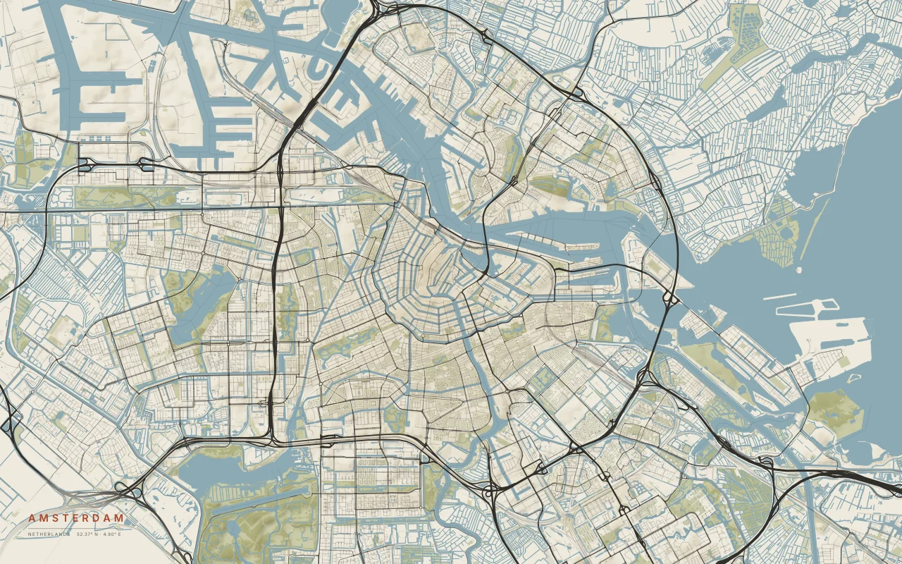
Amsterdam
Rings of canals around the old centre, on the south bank of the IJ.
Observed geography of real places
Atlas is an open-source generative cartography project. It turns real terrain, streets, water, parks, and other geographic data into downloadable artwork.
Each piece starts from measured data: elevation from satellite and survey models, and roads, rivers, and coastlines mapped by OpenStreetMap contributors. The images are generated live in your browser when you load or download them. The aim is to show what makes a place itself: the river a city bends around, the ice that carved a valley, the delta a river builds where it meets the sea.
Rings of canals around the old centre, on the south bank of the IJ.
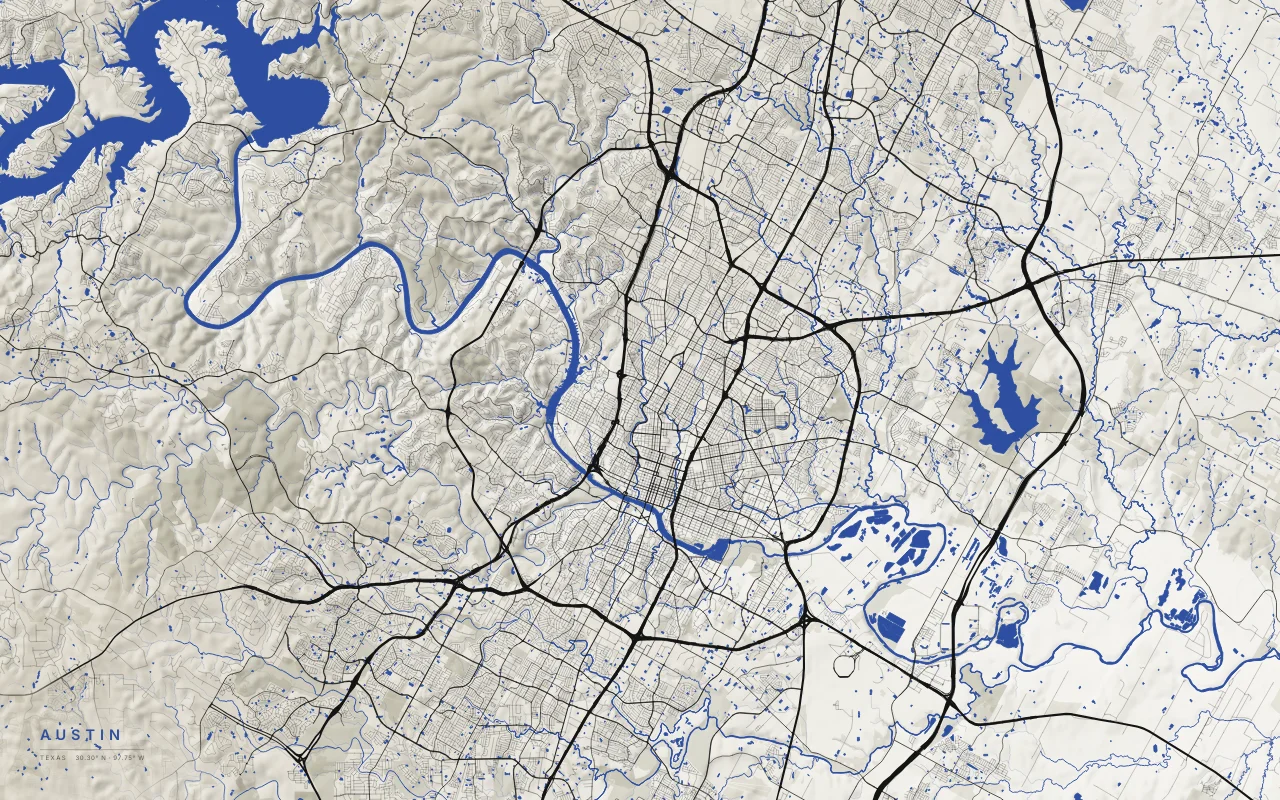
The Colorado River and its Highland Lakes, where the Hill Country meets the Blackland Prairie.
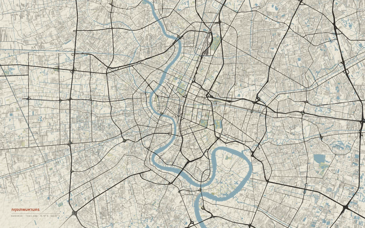
The Chao Phraya River winding through a flat delta city.
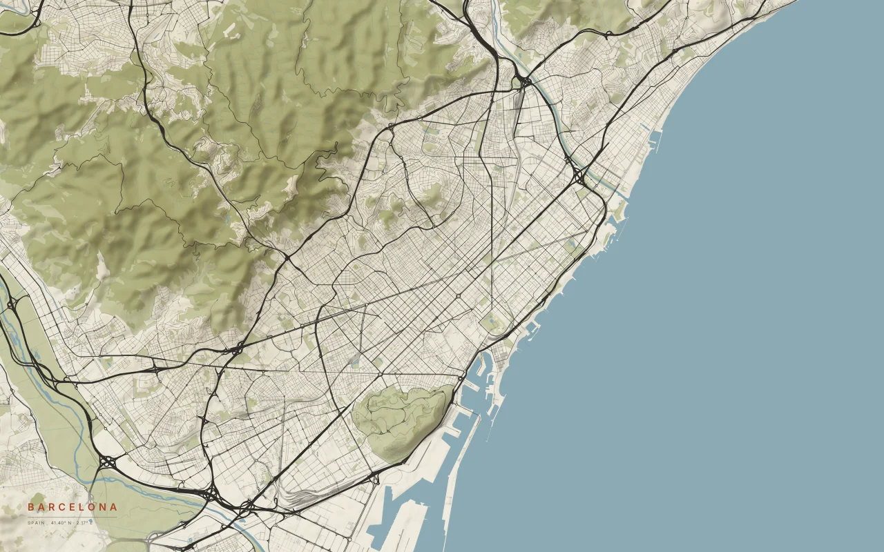
The Eixample grid between the Mediterranean and the Collserola hills.
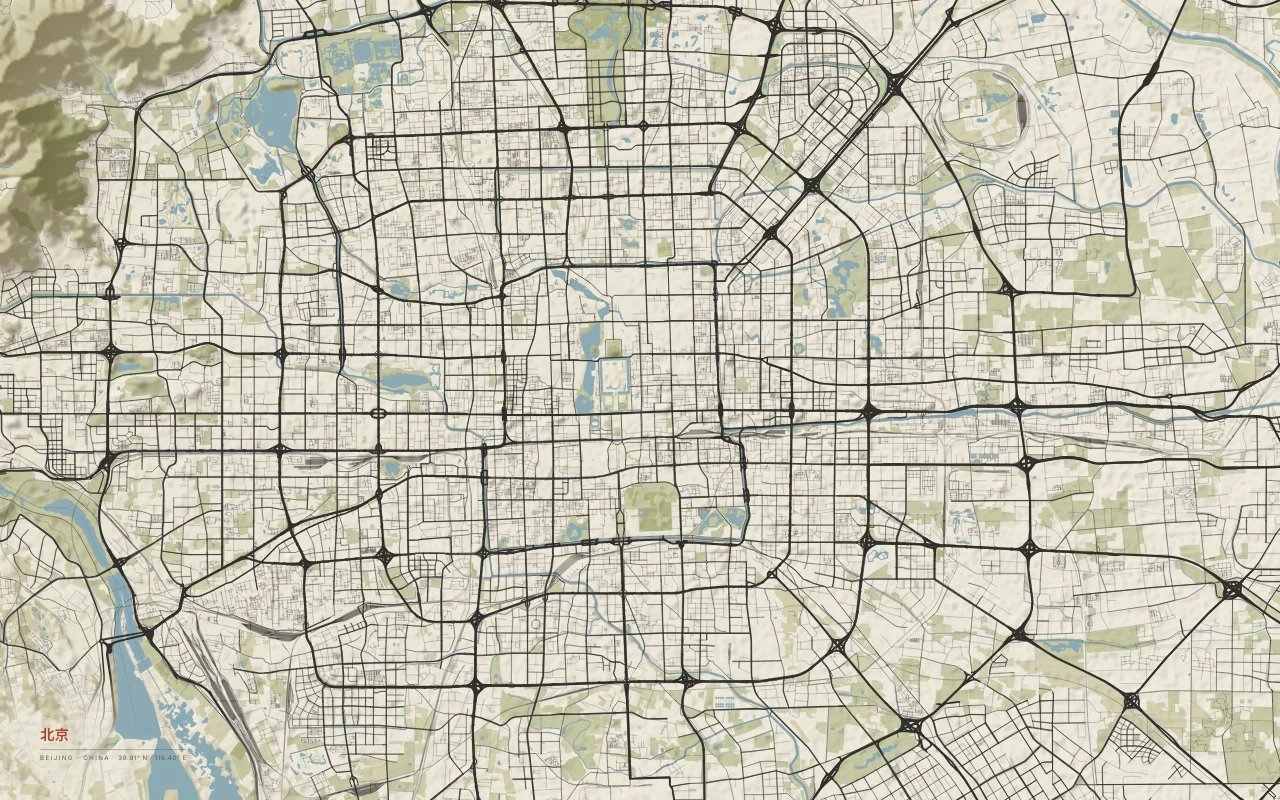
Ring roads around the old city on the flat North China Plain.
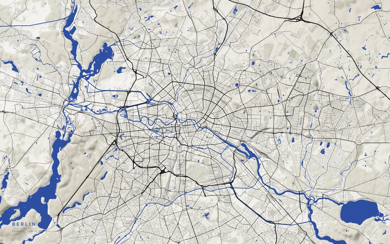
The Spree, the Havel, and the lakes of a city on a flat glacial plain.
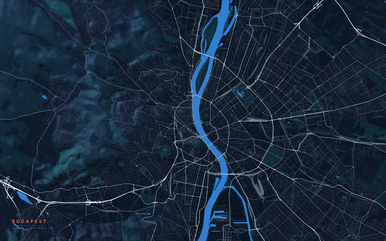
The Danube between the Buda hills and the flat plain of Pest.
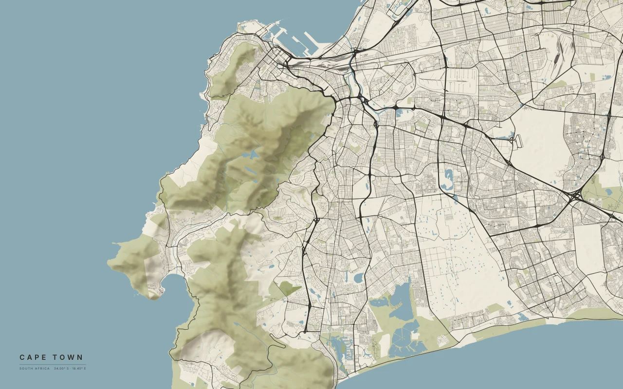
Table Mountain above Table Bay, with False Bay to the south-east.
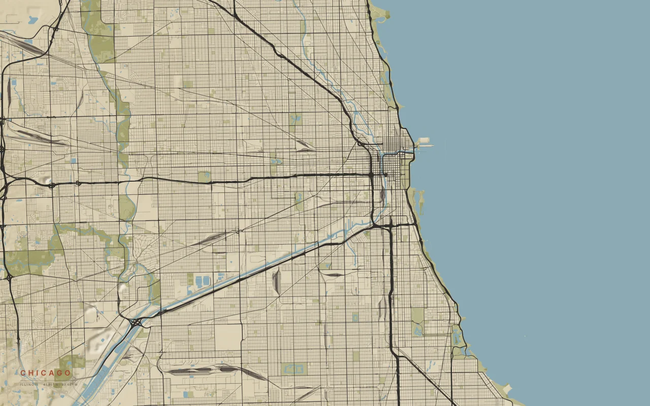
A near-perfect grid against Lake Michigan, split by the Chicago River.
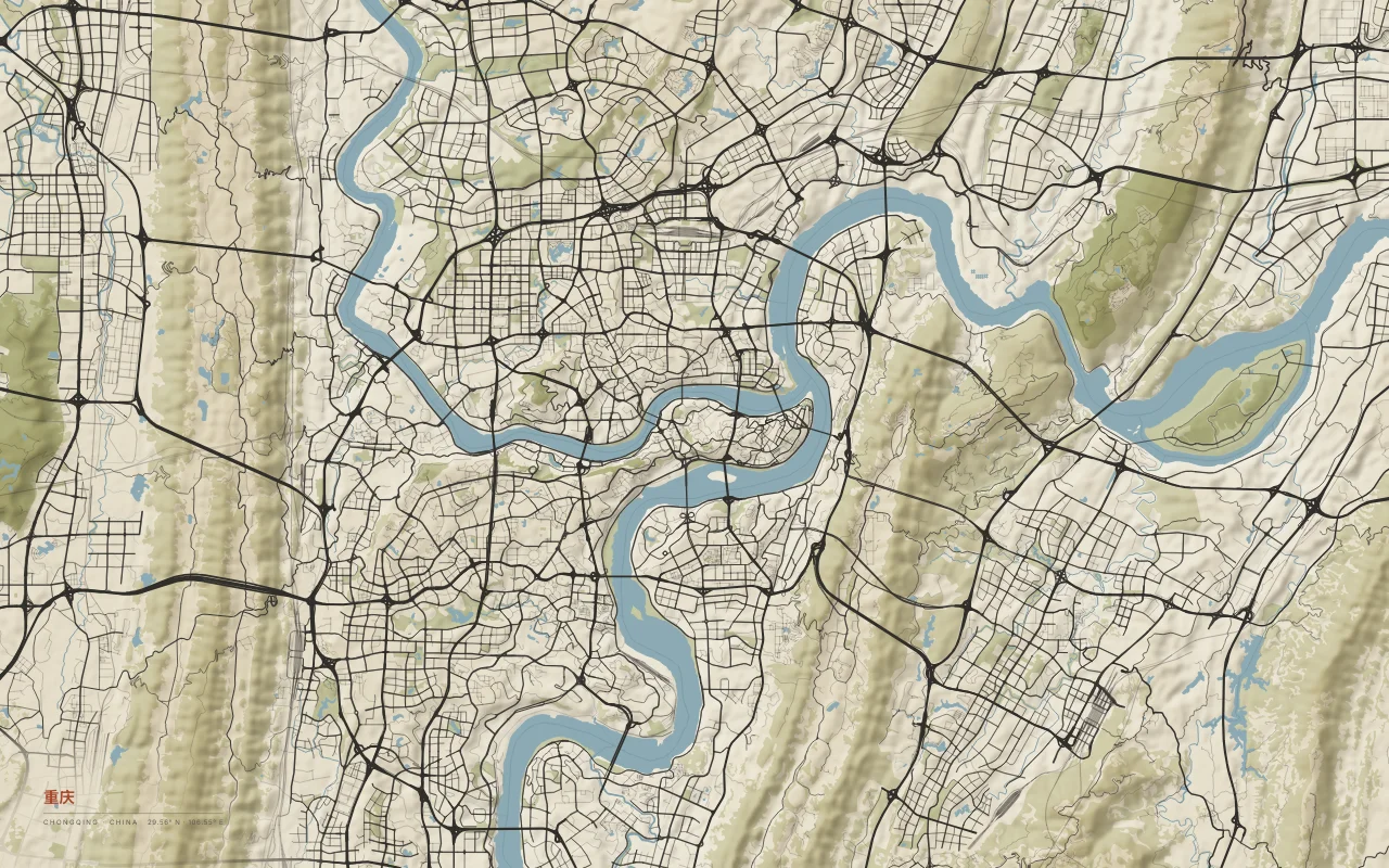
The Jialing River meets the Yangtze between long parallel ridges.
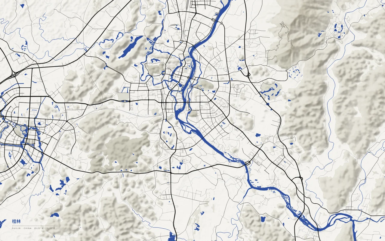
The Li River winds through the city among isolated karst hills.
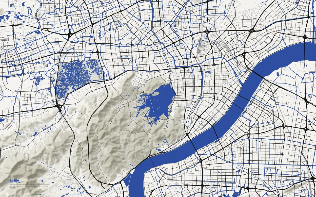
West Lake ringed by hills, beside the Qiantang River.
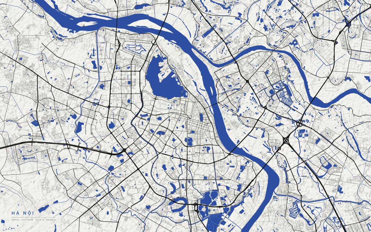
The Red River and the lakes of the old city, including West Lake and Hoan Kiem.
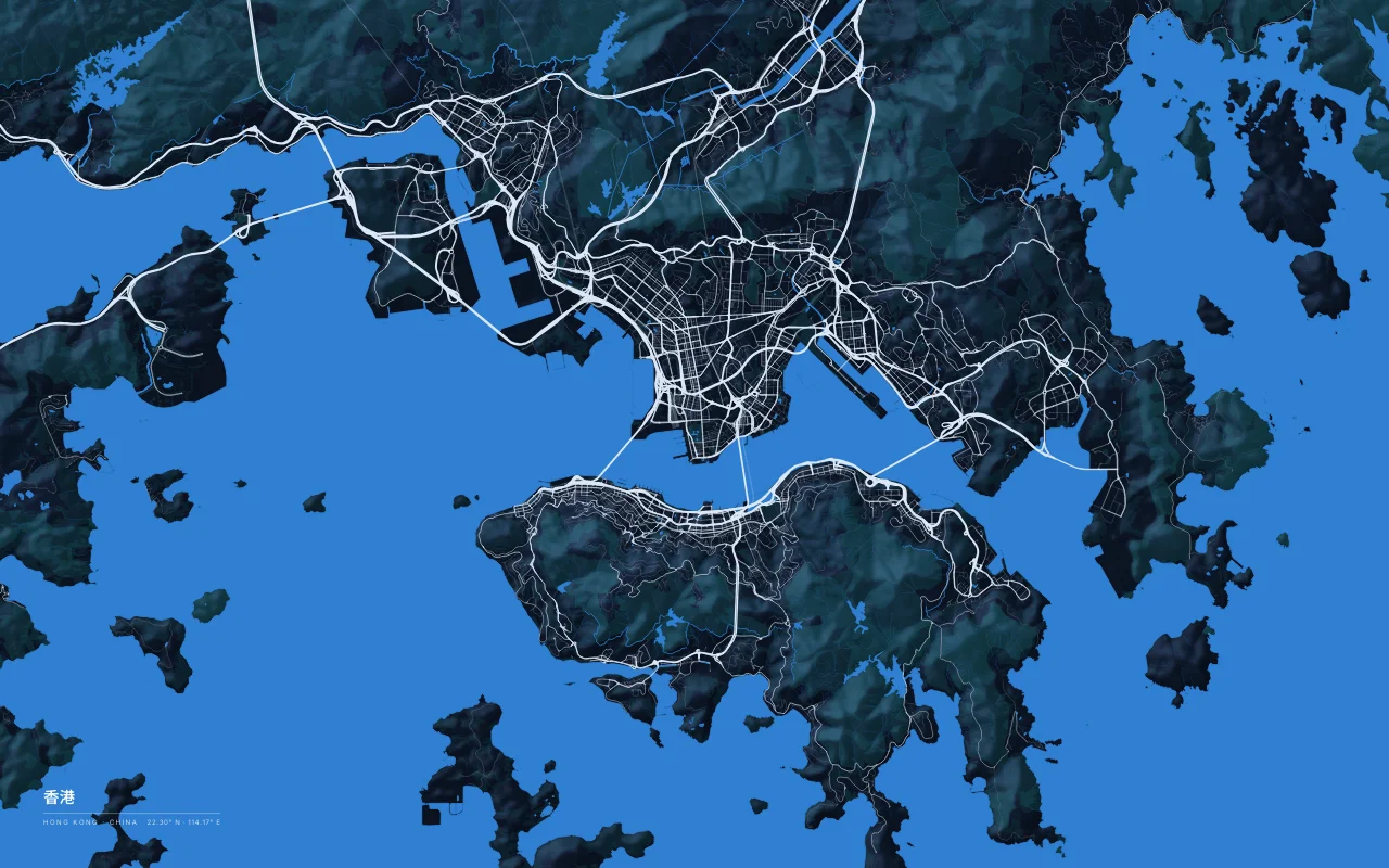
Victoria Harbour between Kowloon and the steep slopes of Hong Kong Island.
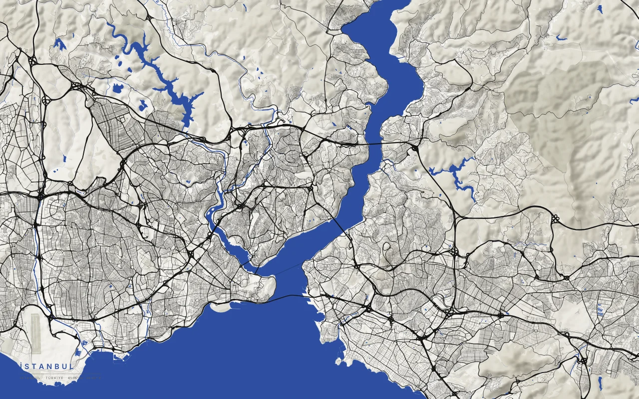
The Bosphorus between Europe and Asia, and the Golden Horn.
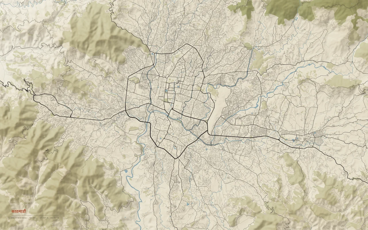
A city filling a bowl-shaped valley ringed by hills, drained by the Bagmati River.
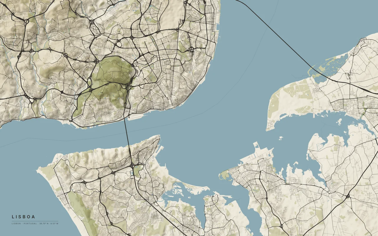
Hills on the north shore of the Tagus estuary.
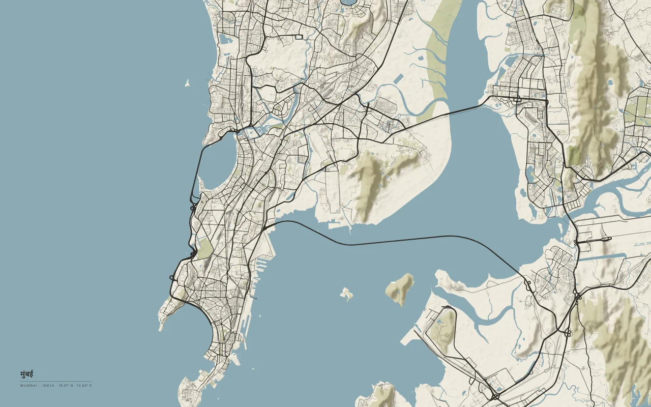
A peninsula of joined islands between the Arabian Sea and Thane Creek.
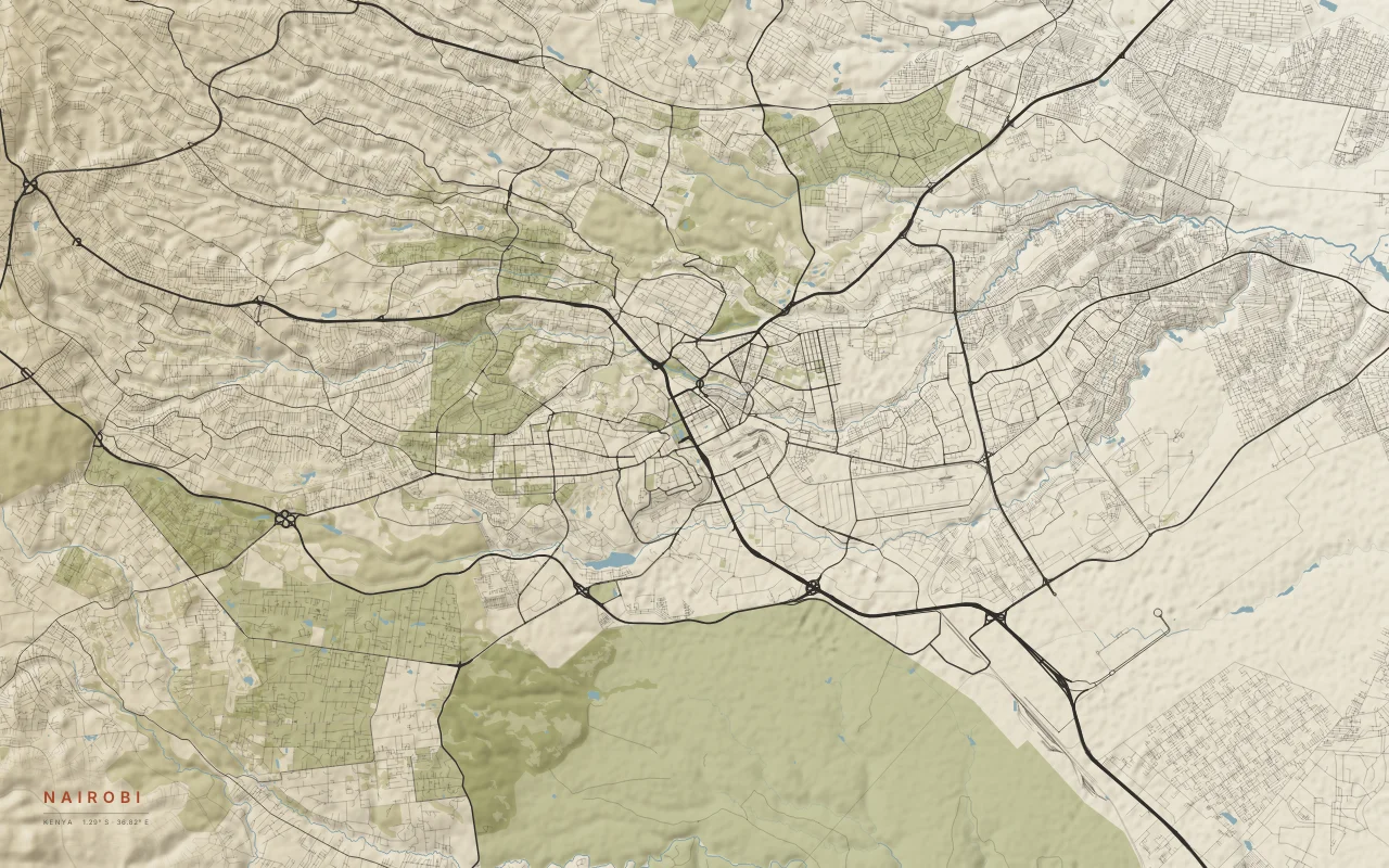
A highland city with Nairobi National Park at its southern edge.
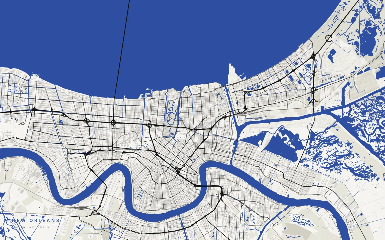
The city in a bend of the Mississippi, with Lake Pontchartrain to the north.
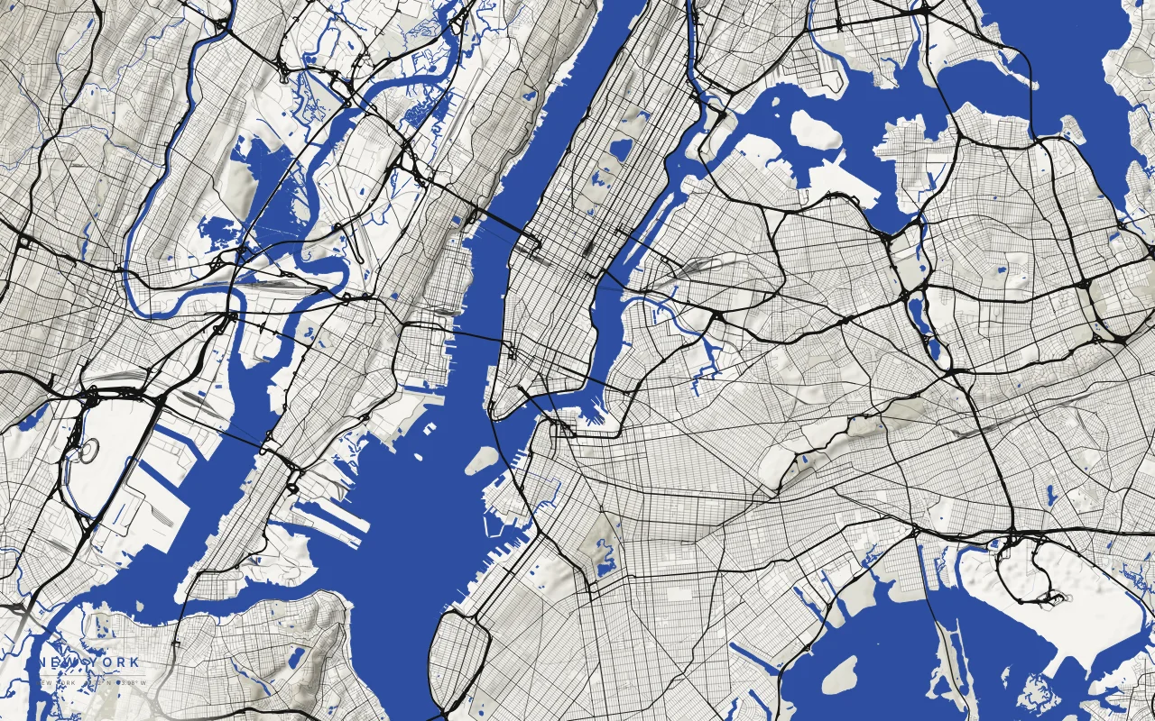
Manhattan between the Hudson and East rivers, with Brooklyn, Queens, and the Upper Bay.
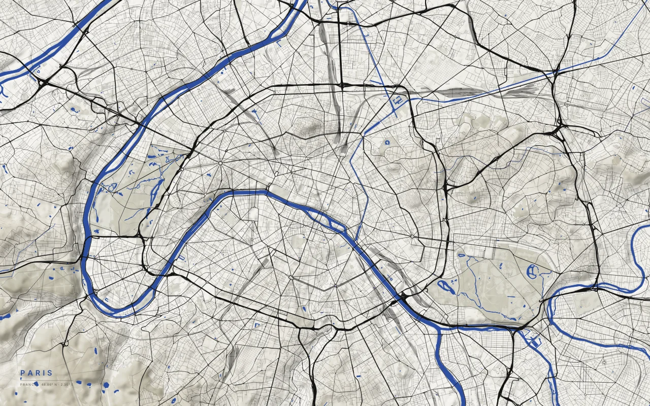
The Seine curving through a city of radial boulevards.
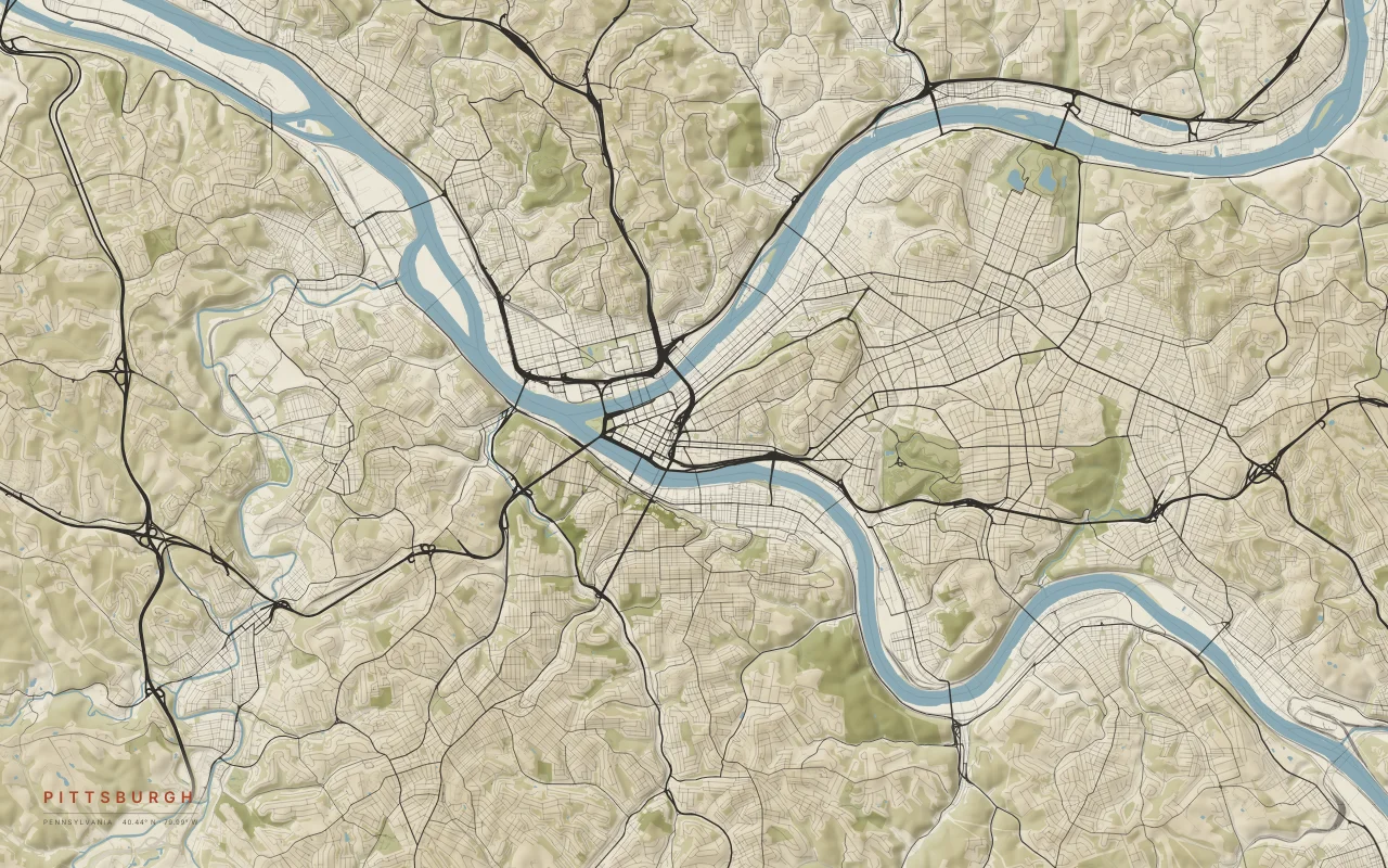
The Allegheny and Monongahela rivers join at the Point to form the Ohio.
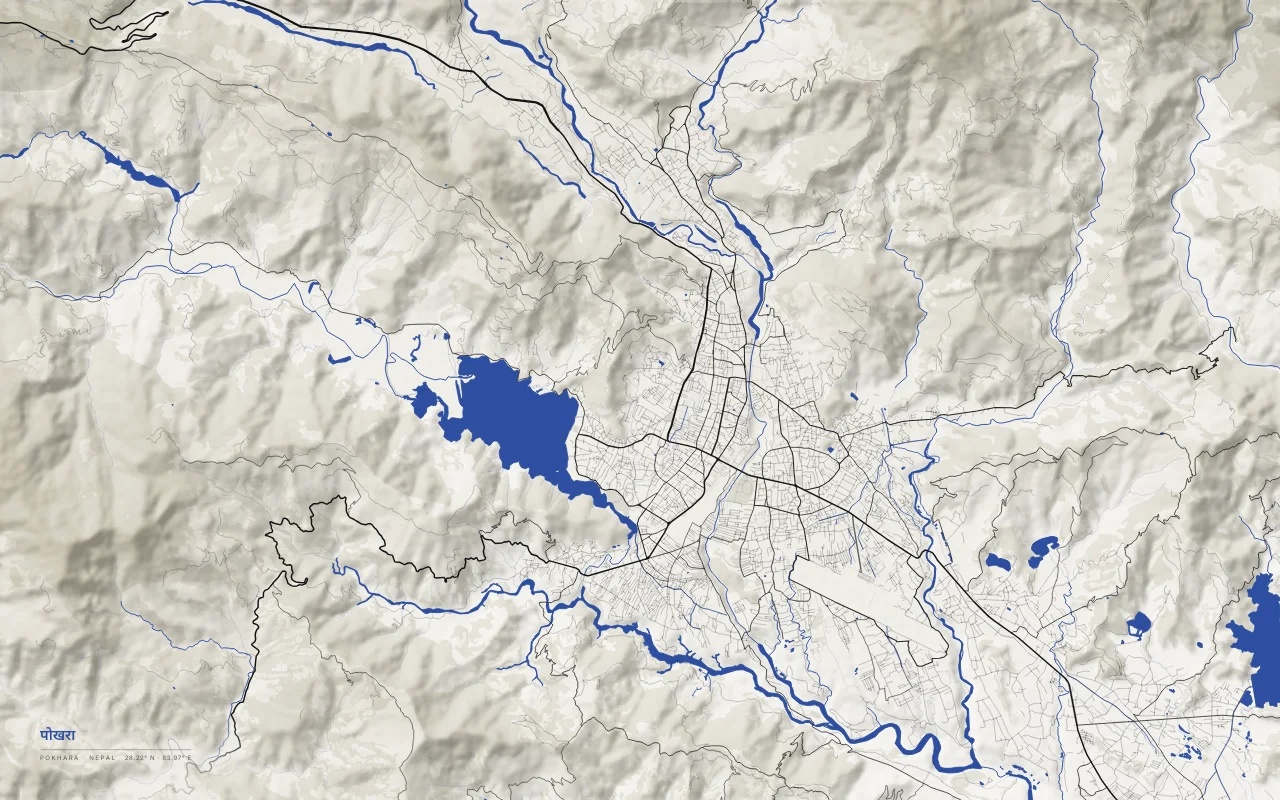
Phewa Lake and the deep gorge of the Seti Gandaki below the Annapurna range.
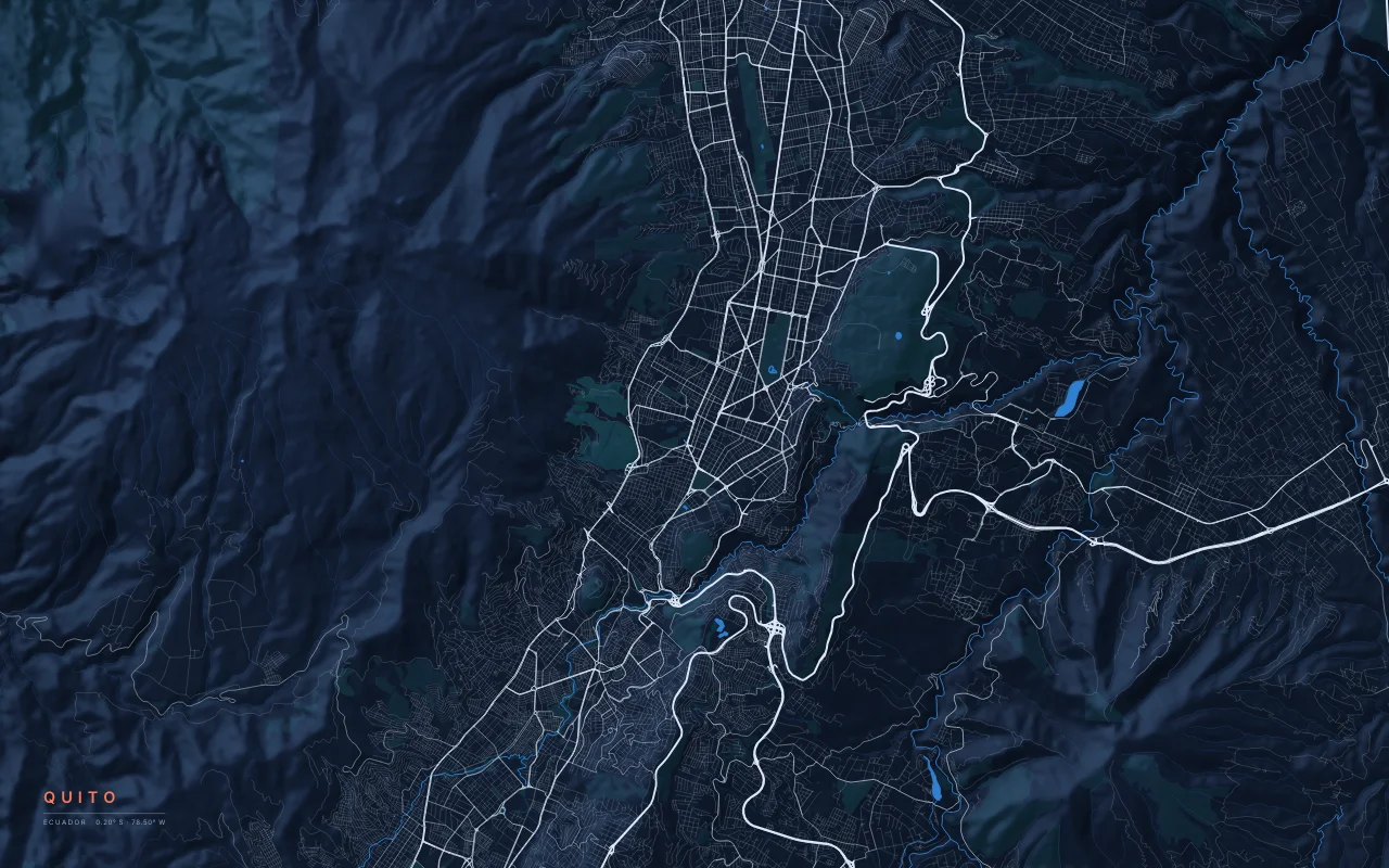
A long, narrow city in an Andean valley below the Pichincha volcano.
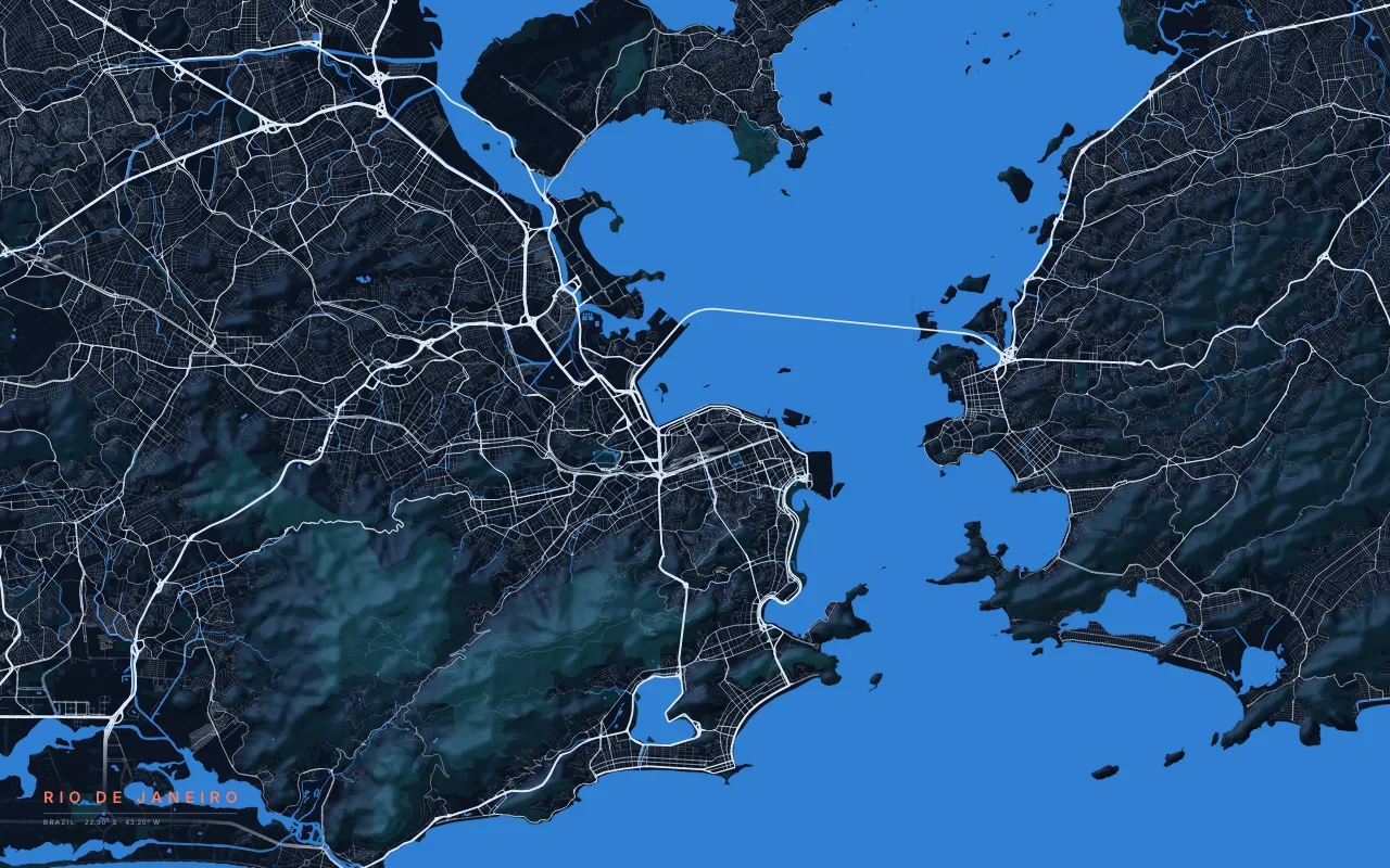
Guanabara Bay and the granite peaks of Tijuca, Corcovado, and Sugarloaf.
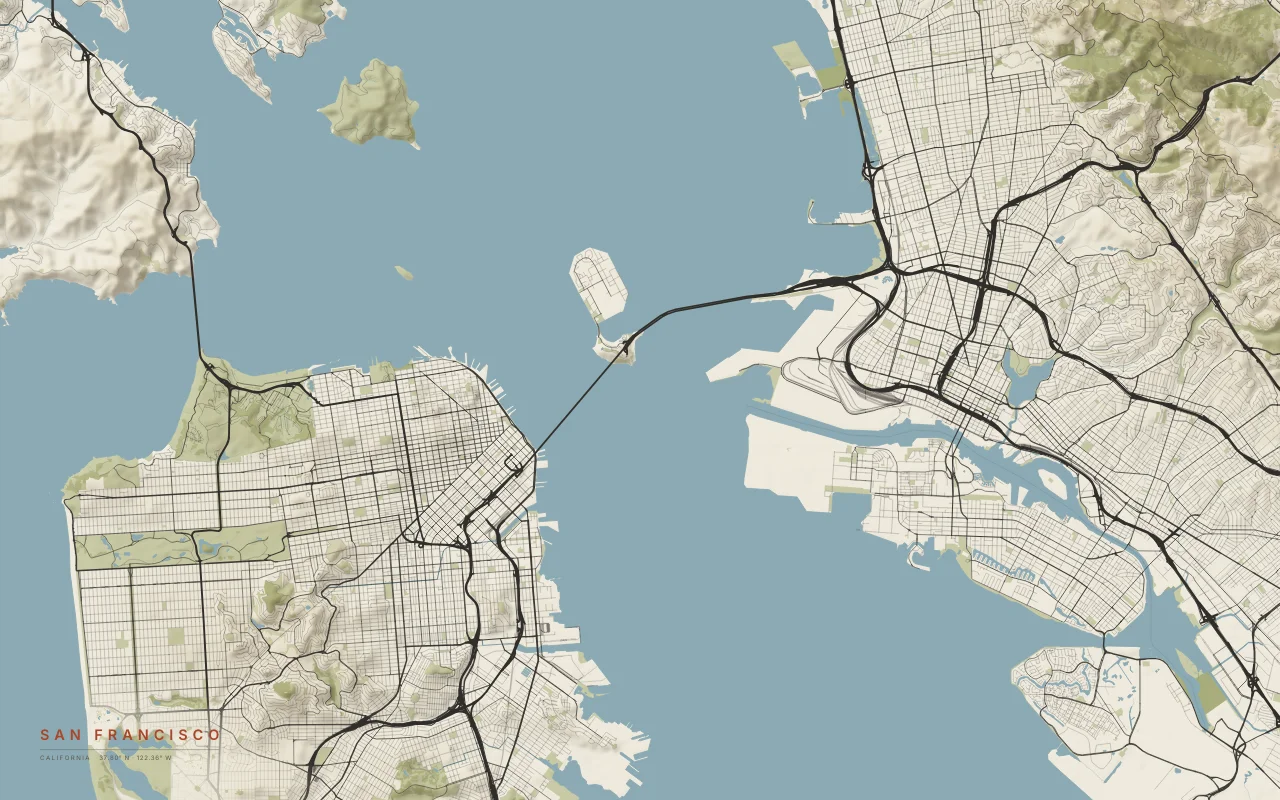
The hilly tip of the peninsula, the Golden Gate, and the bay with Oakland and Berkeley across it.
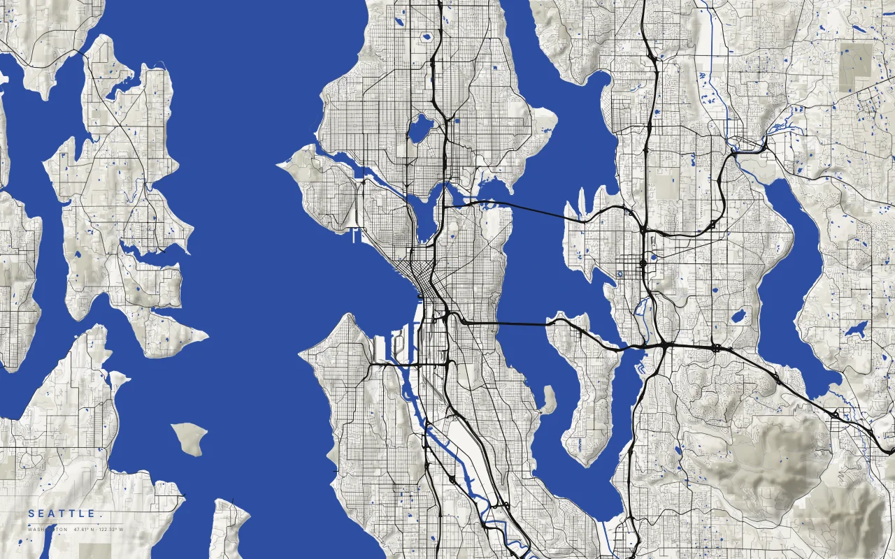
A city on the ridges between Puget Sound and Lake Washington.
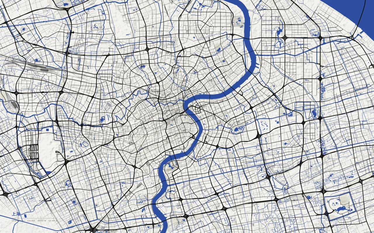
The Huangpu River curving through the city toward the Yangtze estuary.
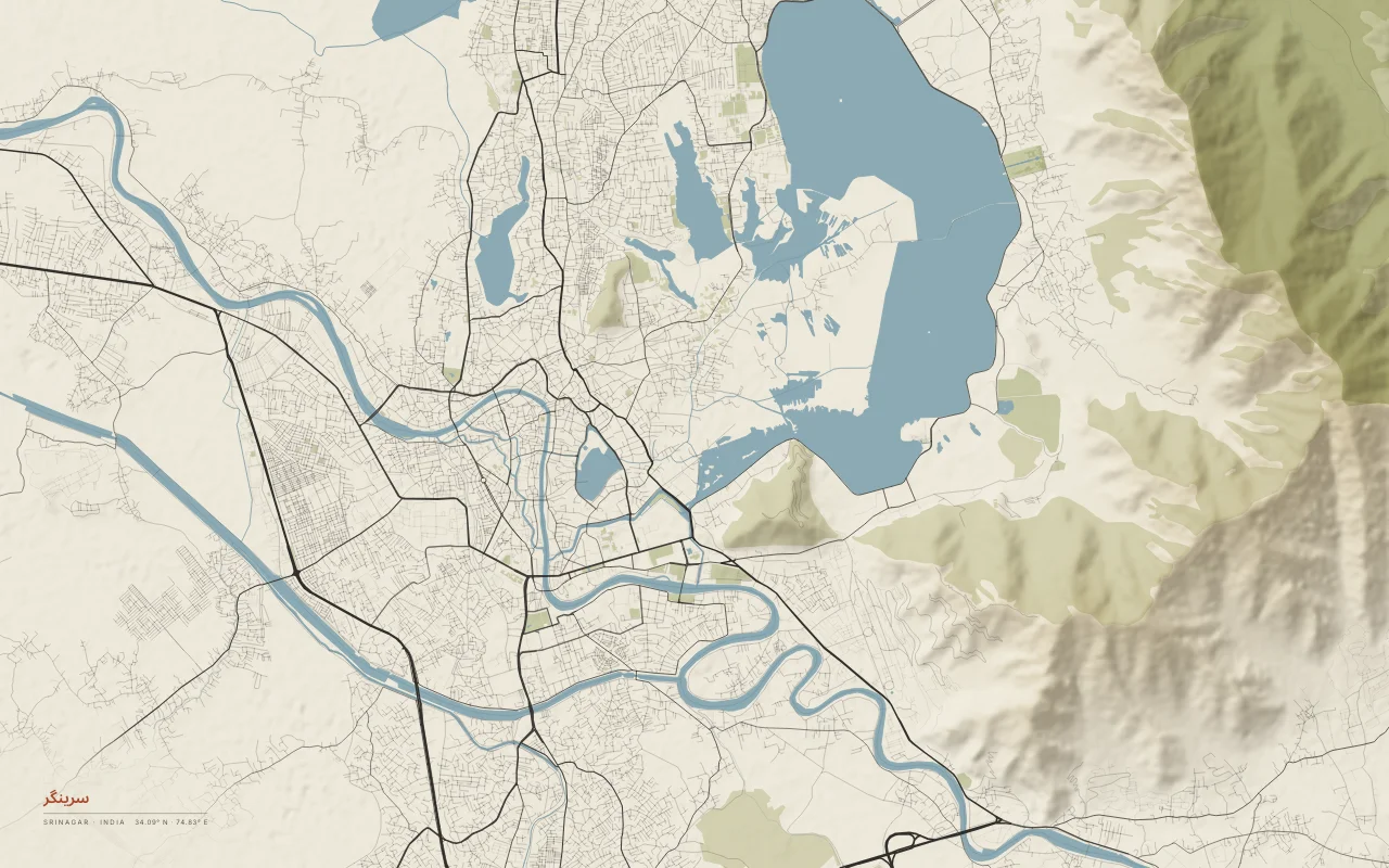
Dal Lake and the Jhelum River in the Kashmir Valley.
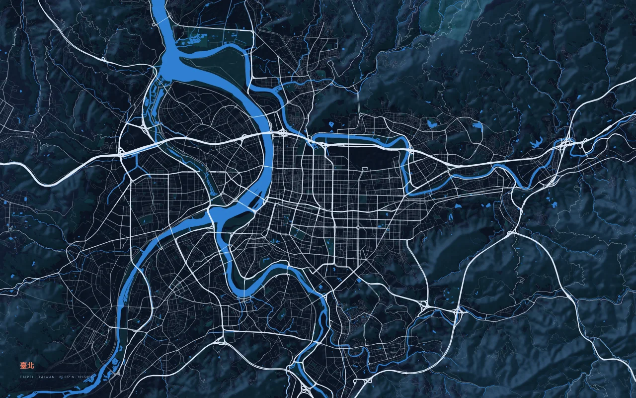
A basin city where the Tamsui, Keelung, and Xindian rivers meet, ringed by mountains.
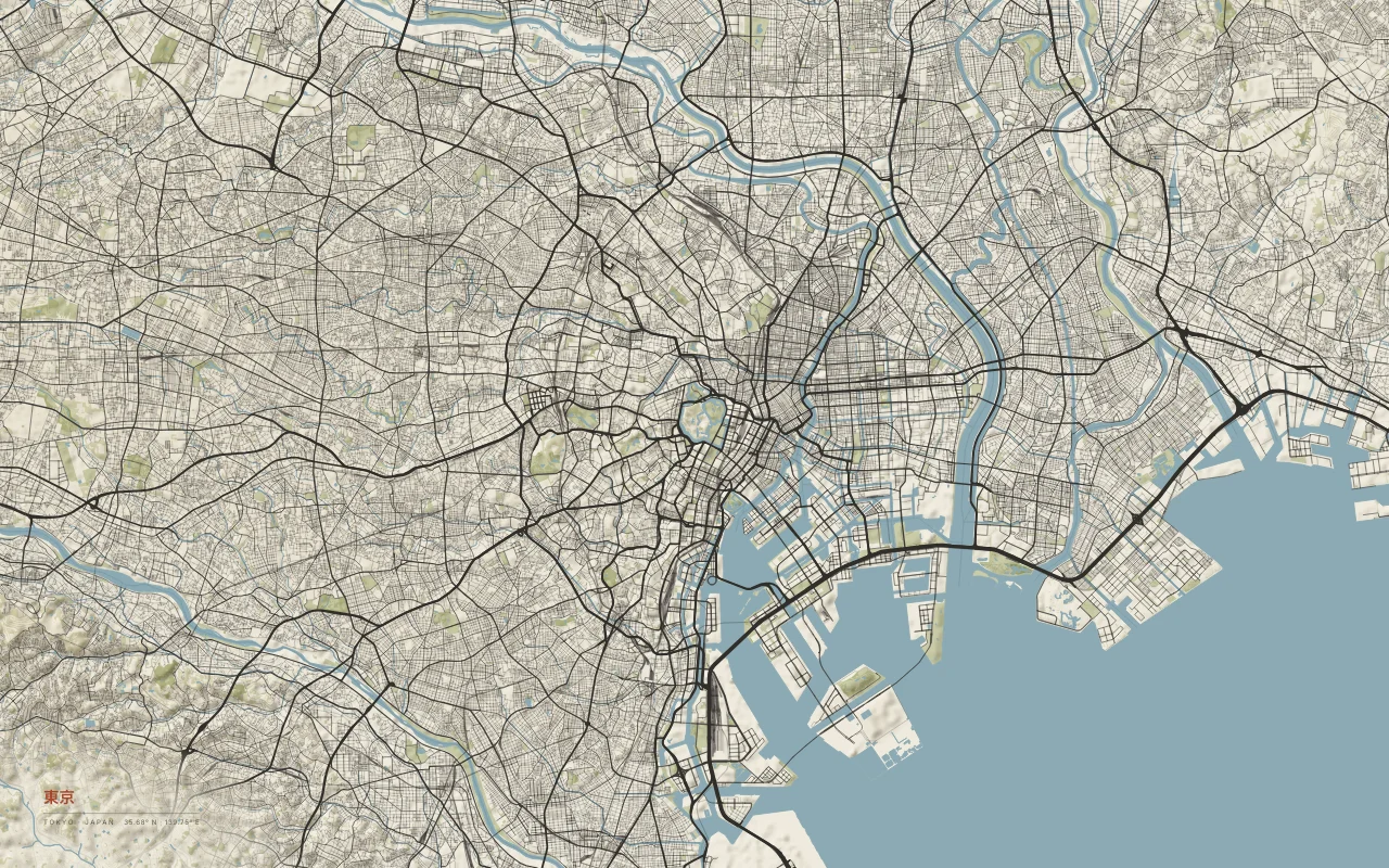
A dense street web on Tokyo Bay, crossed by the Sumida and Arakawa rivers.
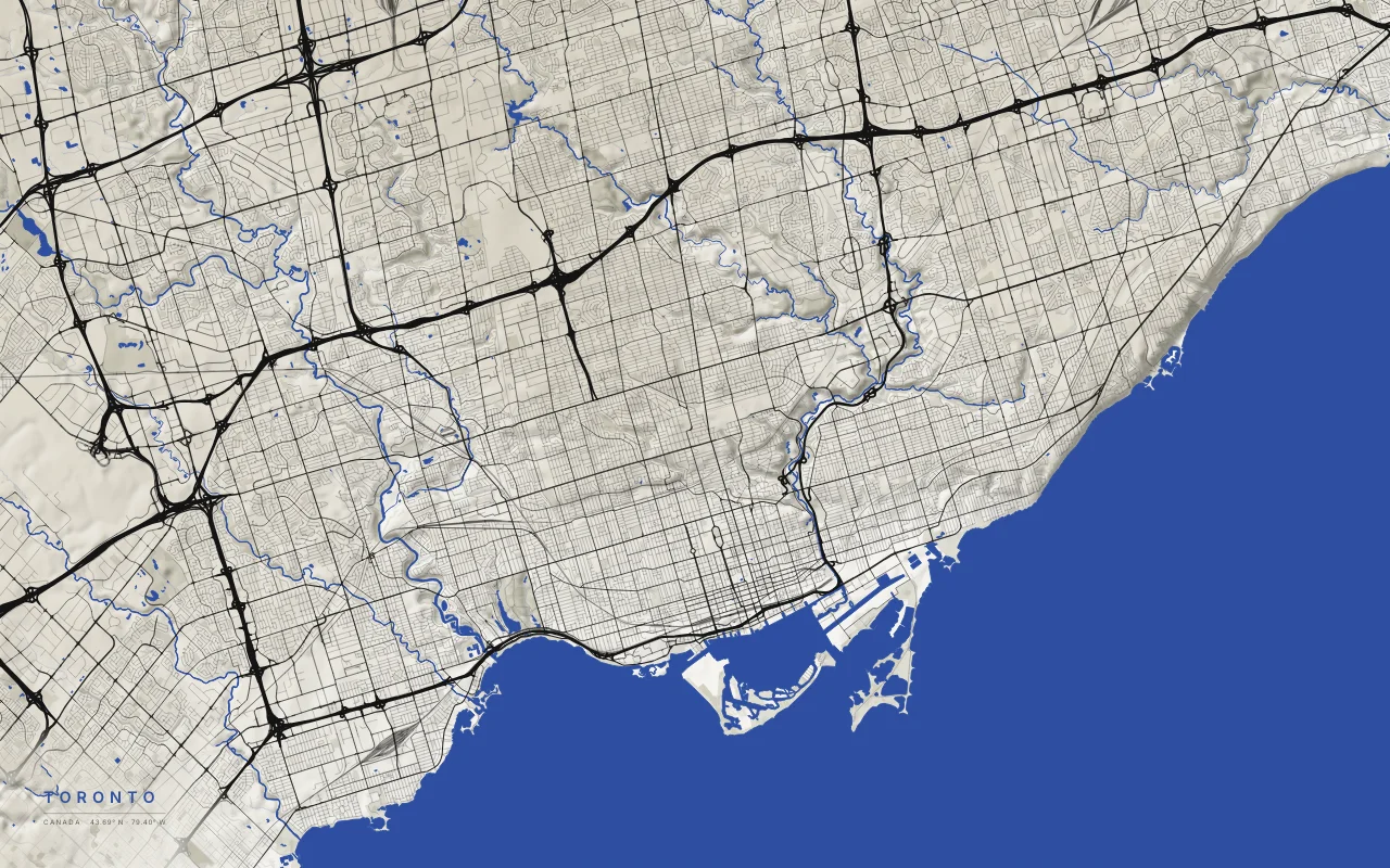
A street grid on the north shore of Lake Ontario, cut by the Don and Humber river ravines.
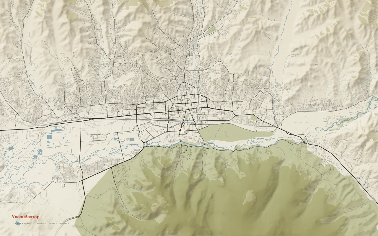
A city stretched along the Tuul River valley, between mountains.
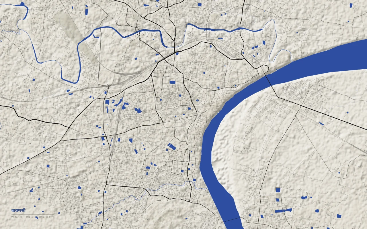
The old city lines the west bank of a crescent bend of the Ganges.
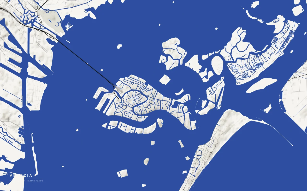
Islands of the old city in a shallow lagoon, linked to the mainland by a causeway.
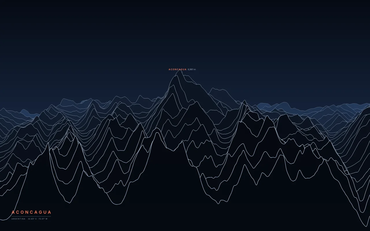
The highest mountain in the Americas, in the Andes of Mendoza.
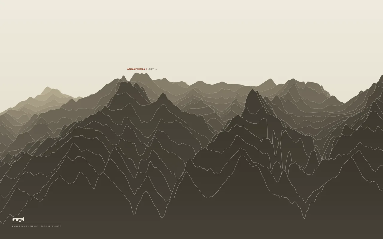
Annapurna I and Machapuchare around the Annapurna Sanctuary.
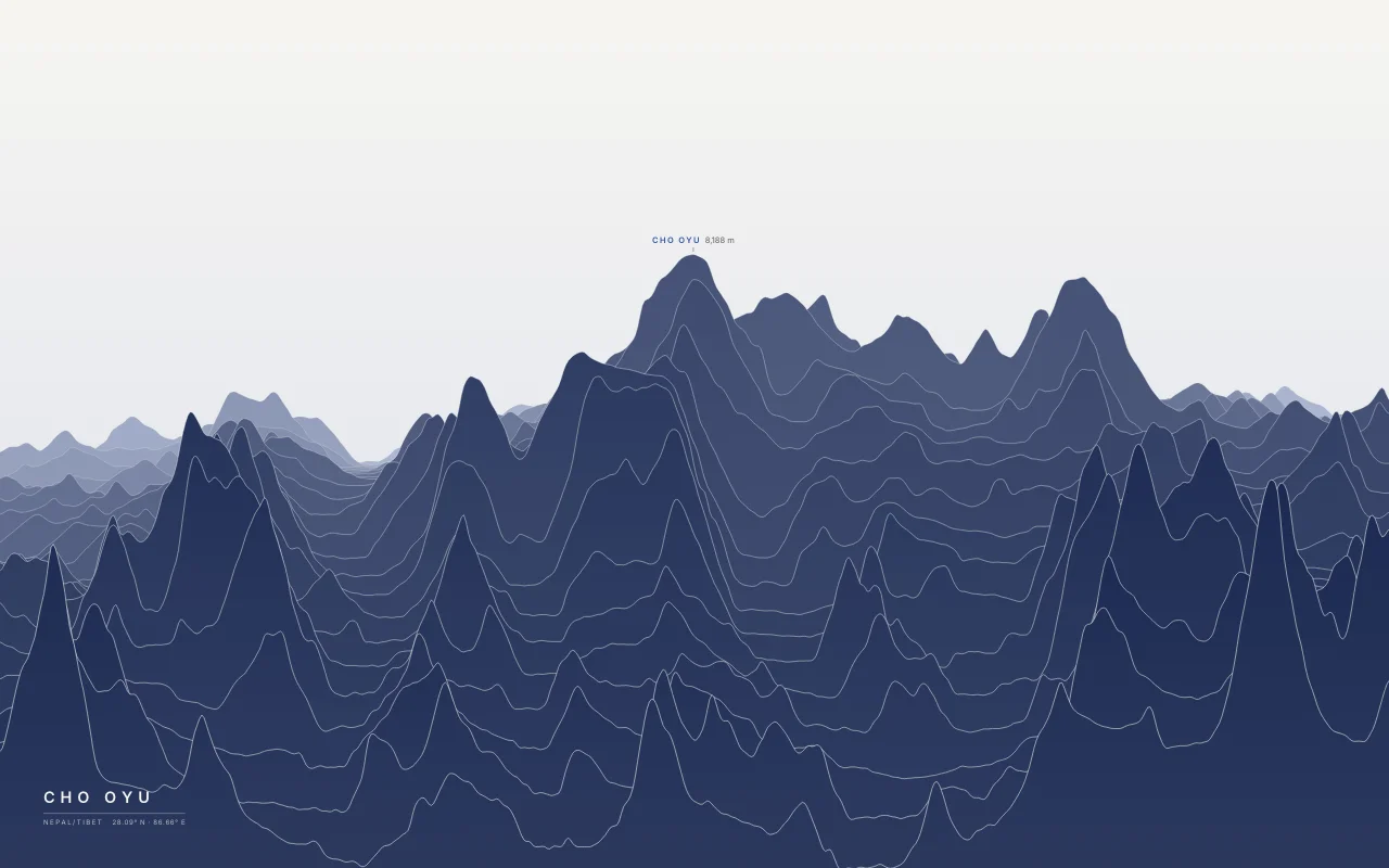
The sixth-highest mountain, west of Everest on the Nepal–Tibet border.
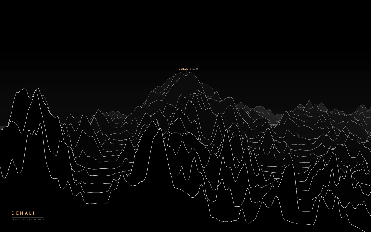
The highest mountain in North America, in the Alaska Range.
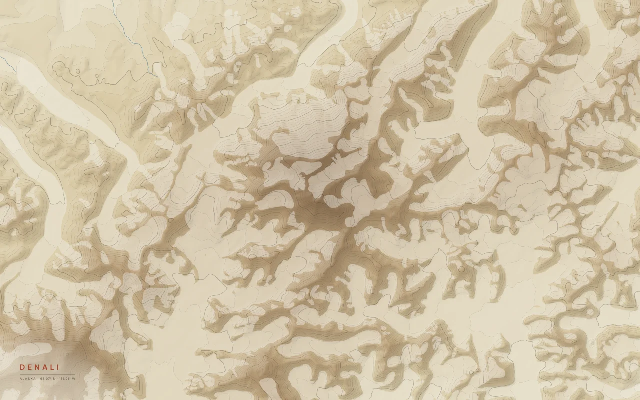
Elevation bands of Denali in the Alaska Range, with the Kahiltna and Ruth glaciers left empty.
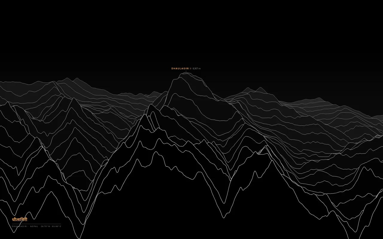
The seventh-highest mountain, across the Kali Gandaki gorge from Annapurna.
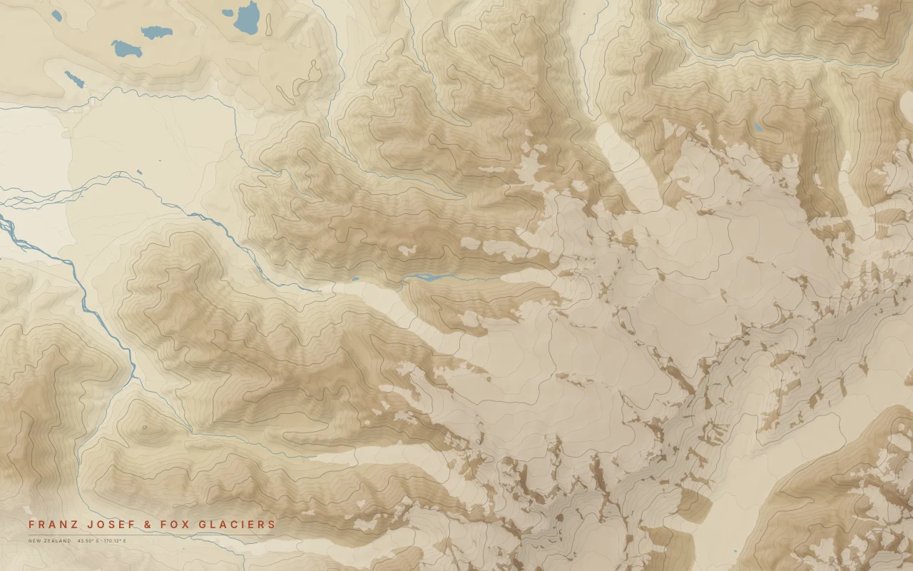
Two glaciers descending from the Southern Alps toward the West Coast rainforest.

A remote volcano deep in the North Cascades.
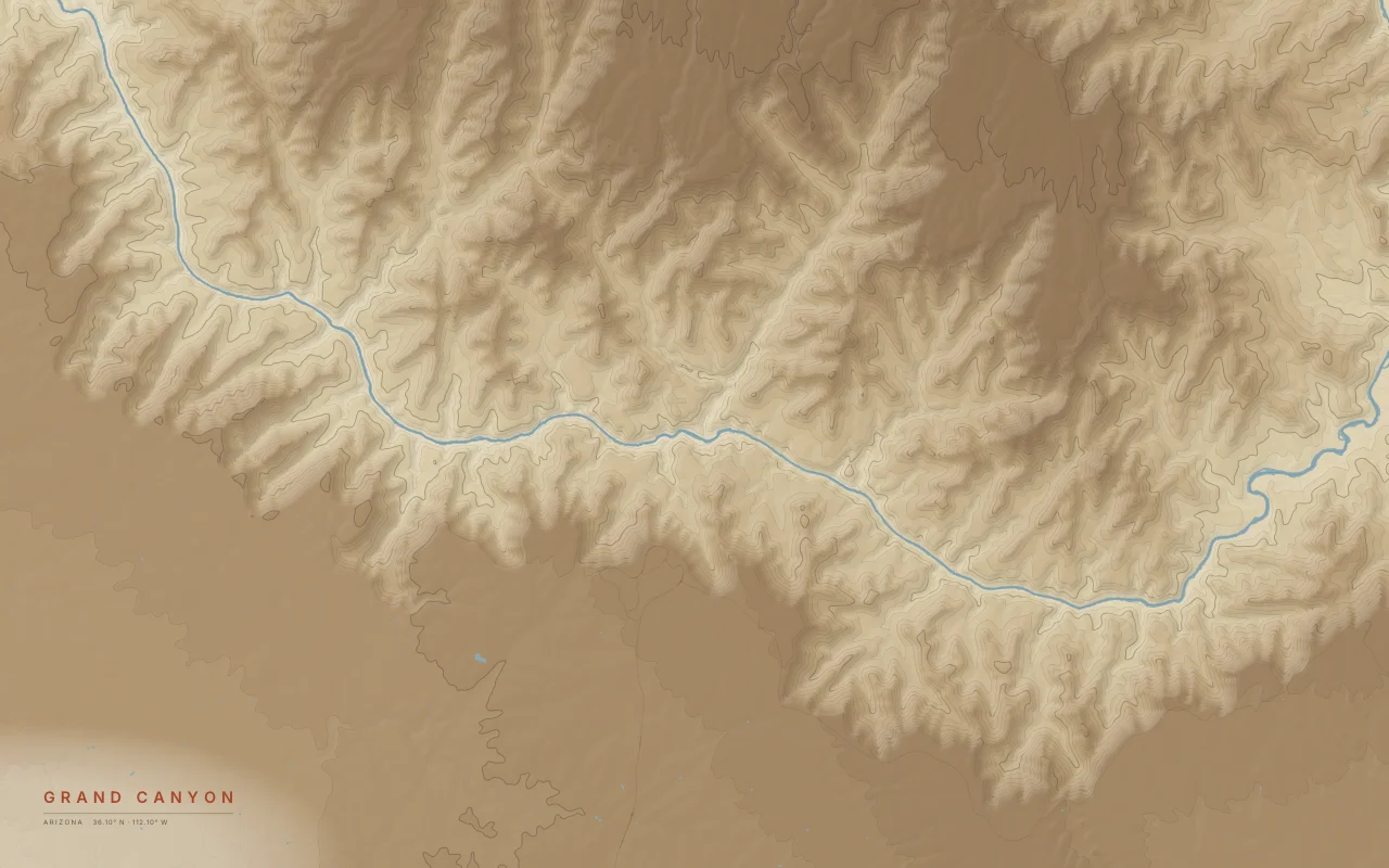
Elevation bands of the Grand Canyon, with the Colorado River cut between the South and North rims.
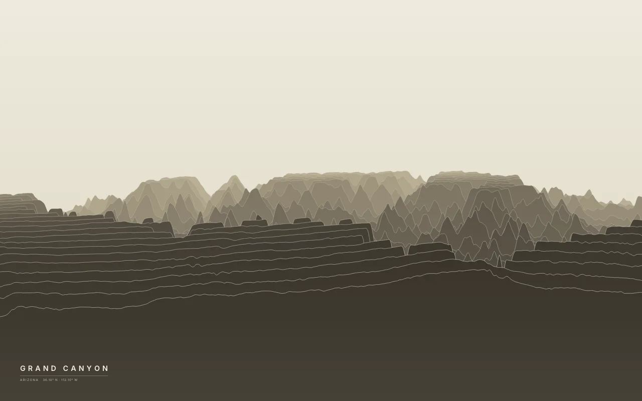
The Colorado River's canyon between the South and North rims.
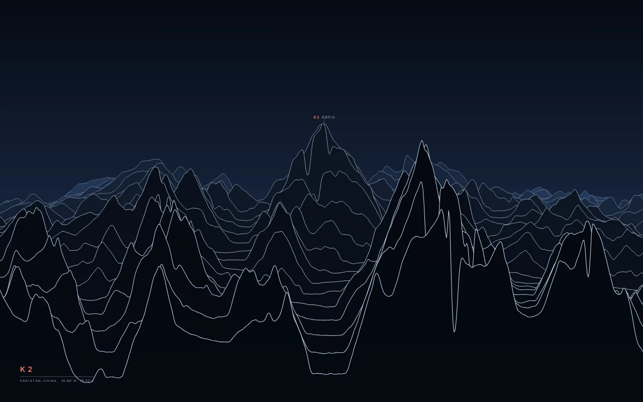
The second-highest mountain on Earth, in the Karakoram above the Baltoro and Godwin-Austen glaciers.
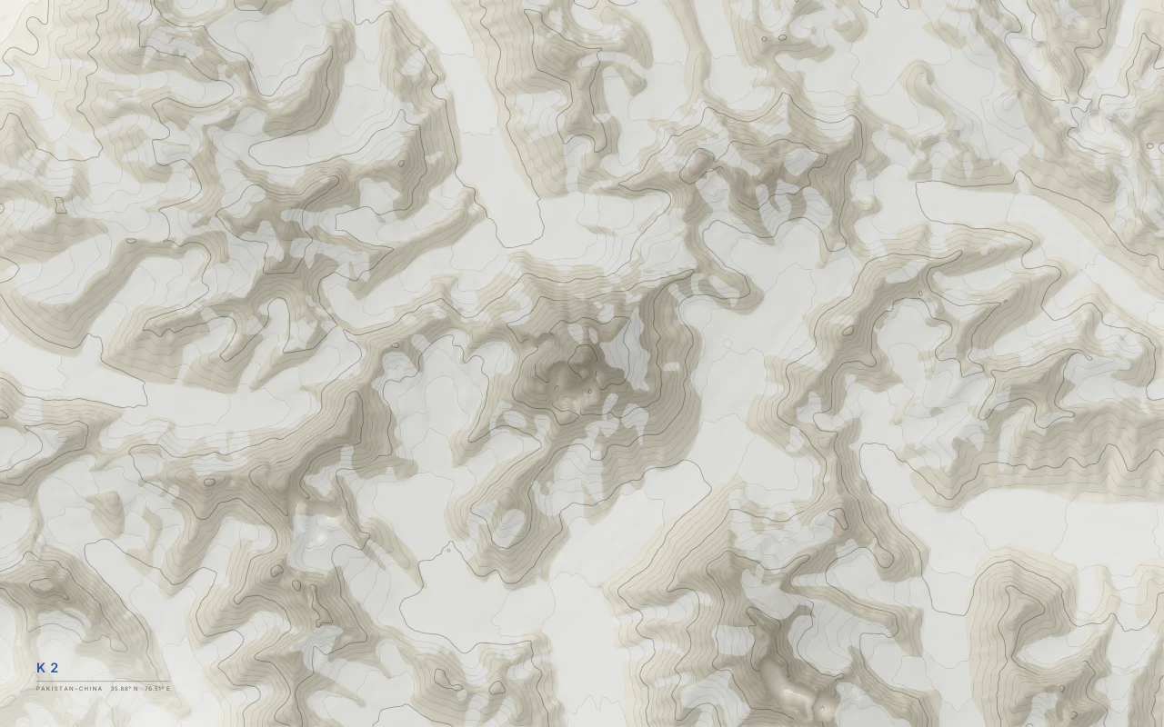
Elevation bands of the K2 massif in the Karakoram, with the Baltoro and Godwin-Austen glaciers left empty.
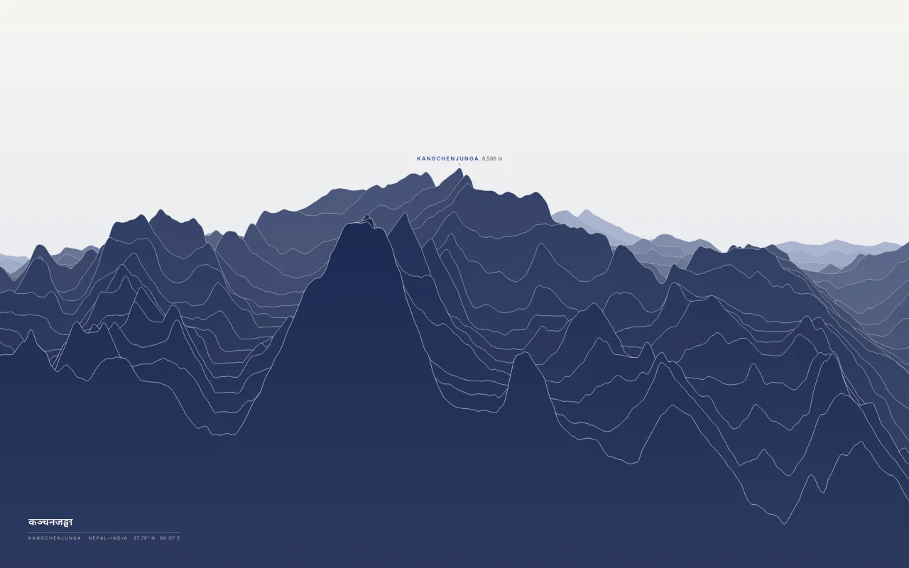
The third-highest mountain on Earth, on the border of Nepal and Sikkim.
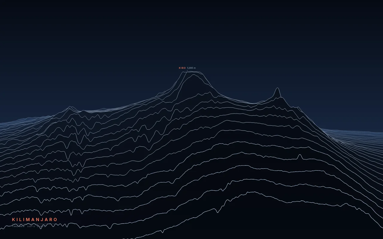
The highest mountain in Africa, a volcano rising alone from the plains.
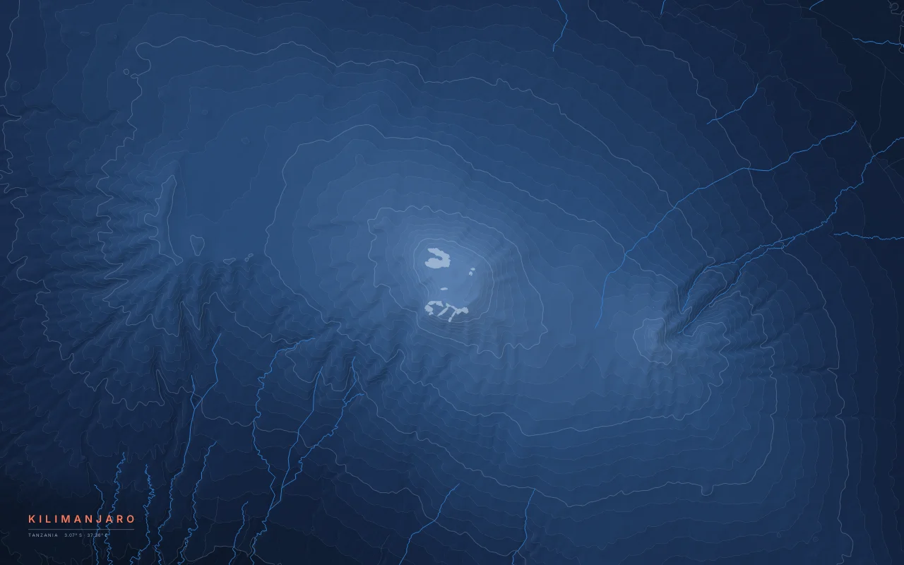
Elevation bands of Kilimanjaro rising about 5,000 m above the plains, its summit ice left empty.
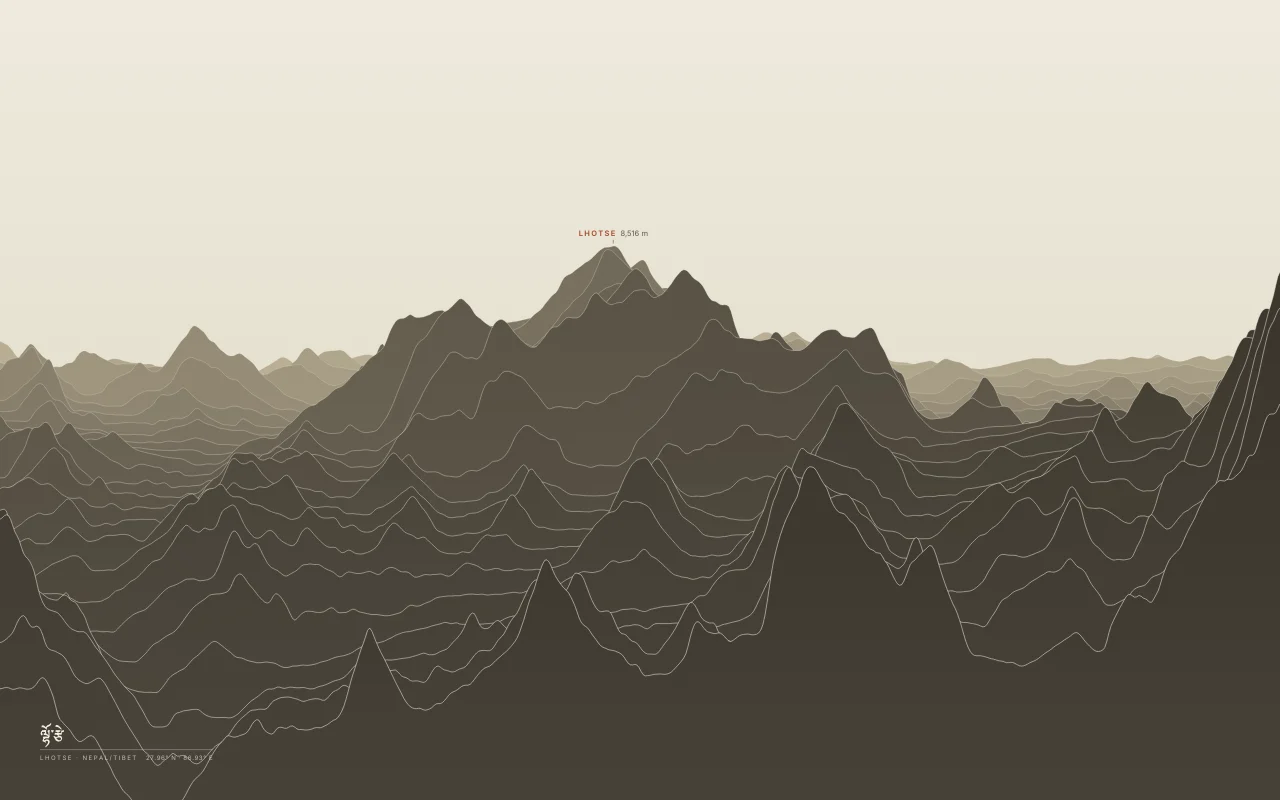
The fourth-highest mountain, joined to Everest by the South Col.
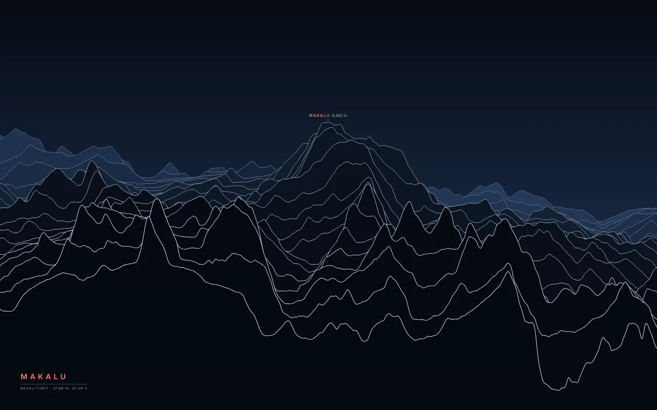
The fifth-highest mountain, an isolated four-sided pyramid east of Everest.
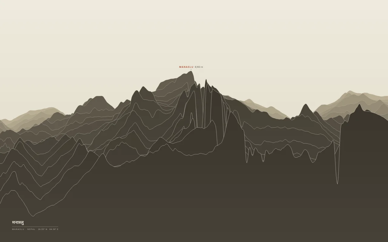
The eighth-highest mountain, in the Mansiri Himal of central Nepal.
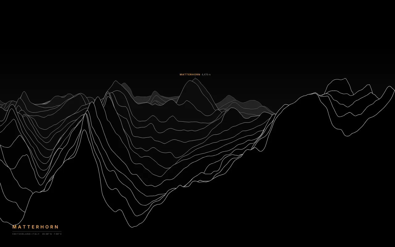
The four-faced pyramid above Zermatt and Breuil-Cervinia.
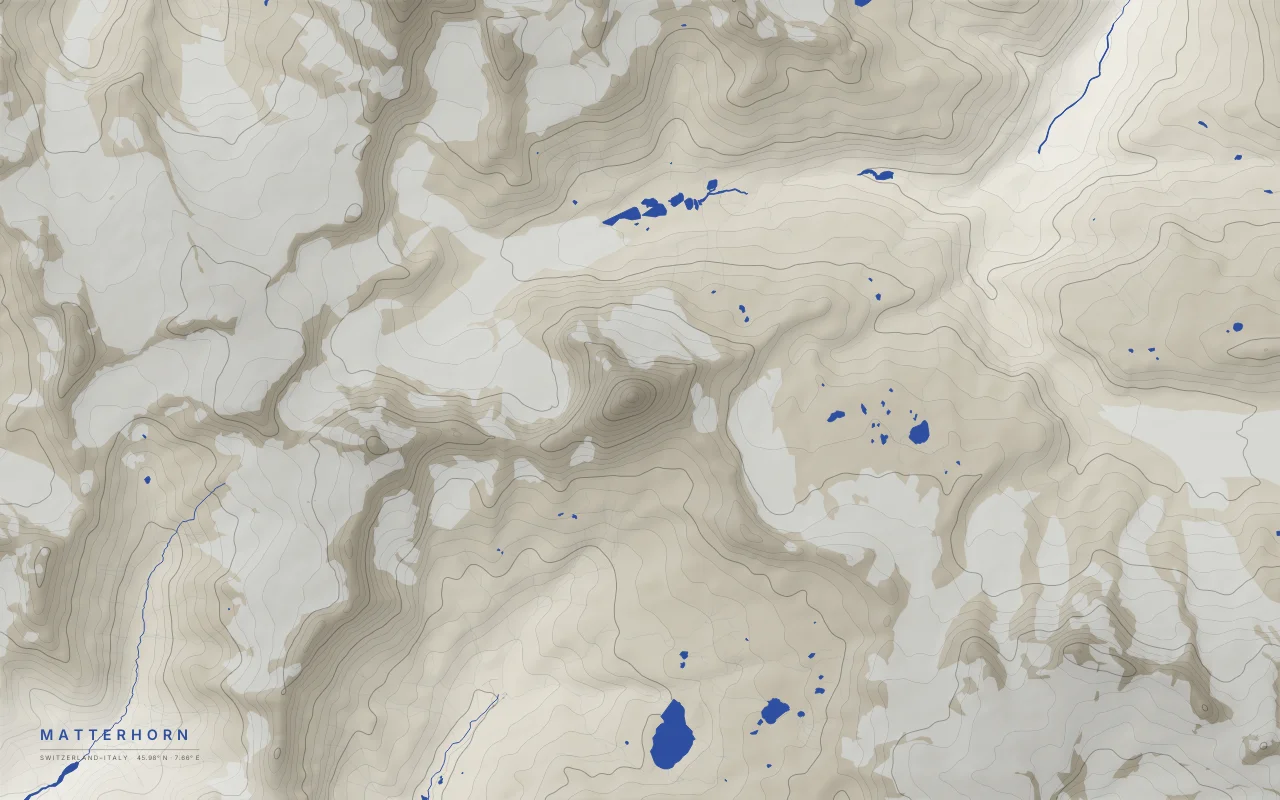
Elevation bands around the Matterhorn above Zermatt and Breuil-Cervinia, glaciers left empty.
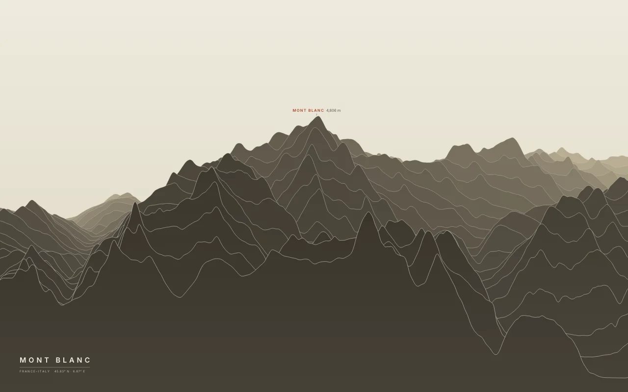
The highest peak of the Alps, between Chamonix and Courmayeur.
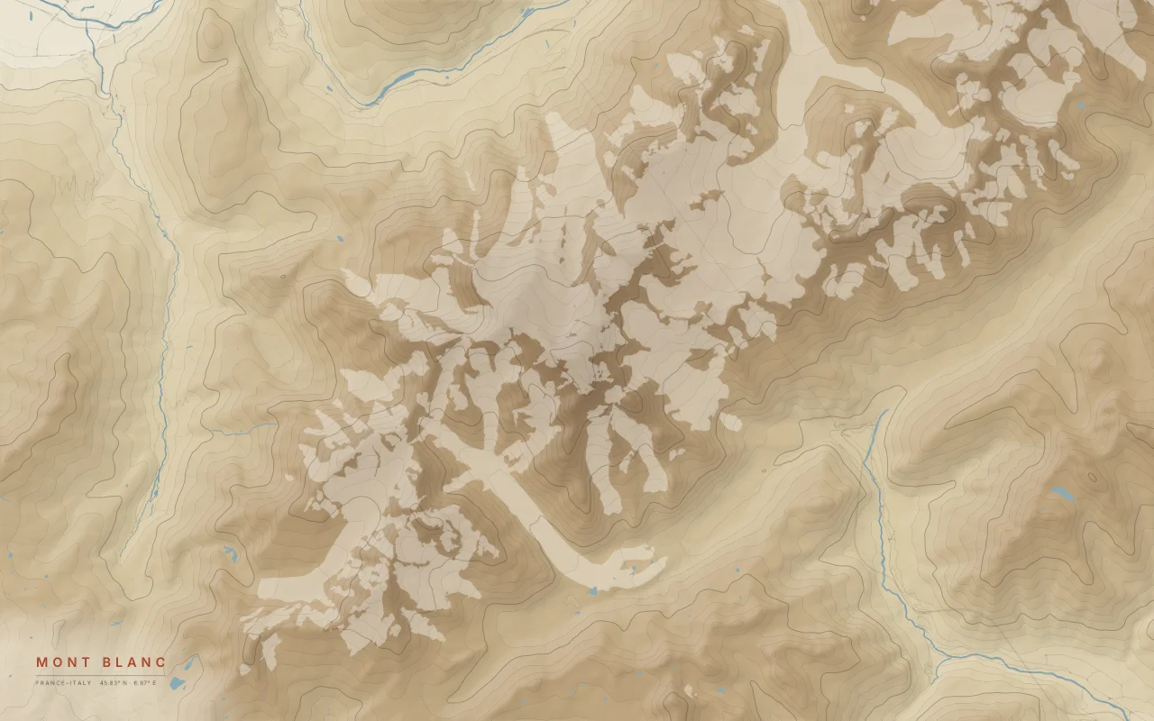
Elevation bands of the Mont Blanc massif between Chamonix and Courmayeur, glaciers left empty.
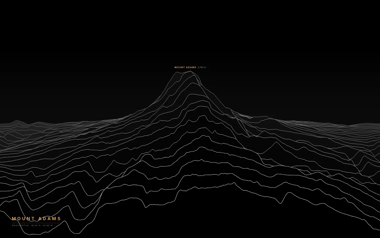
Washington’s second-highest peak, a broad volcano east of St. Helens.
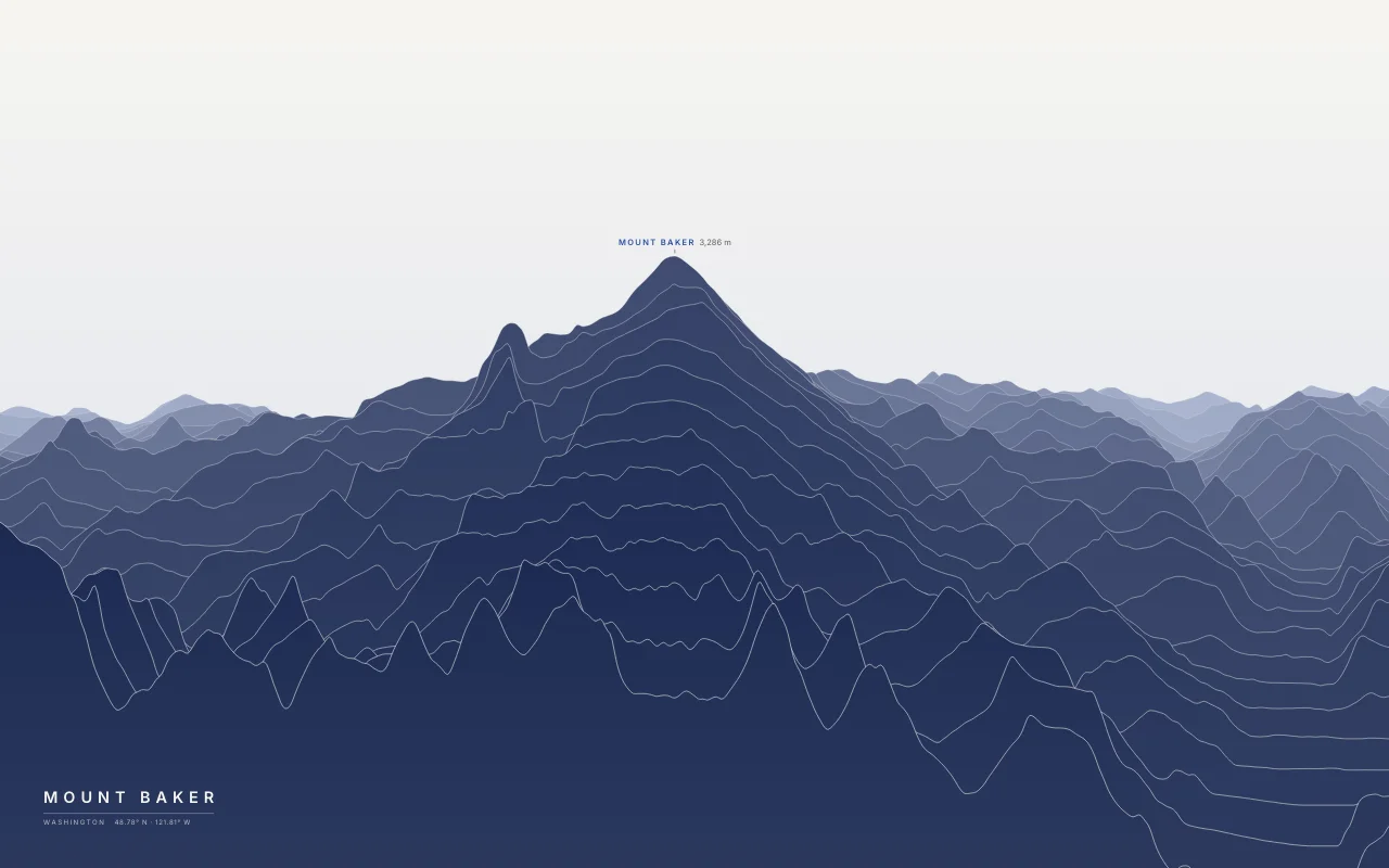
A heavily glaciated volcano in the North Cascades.
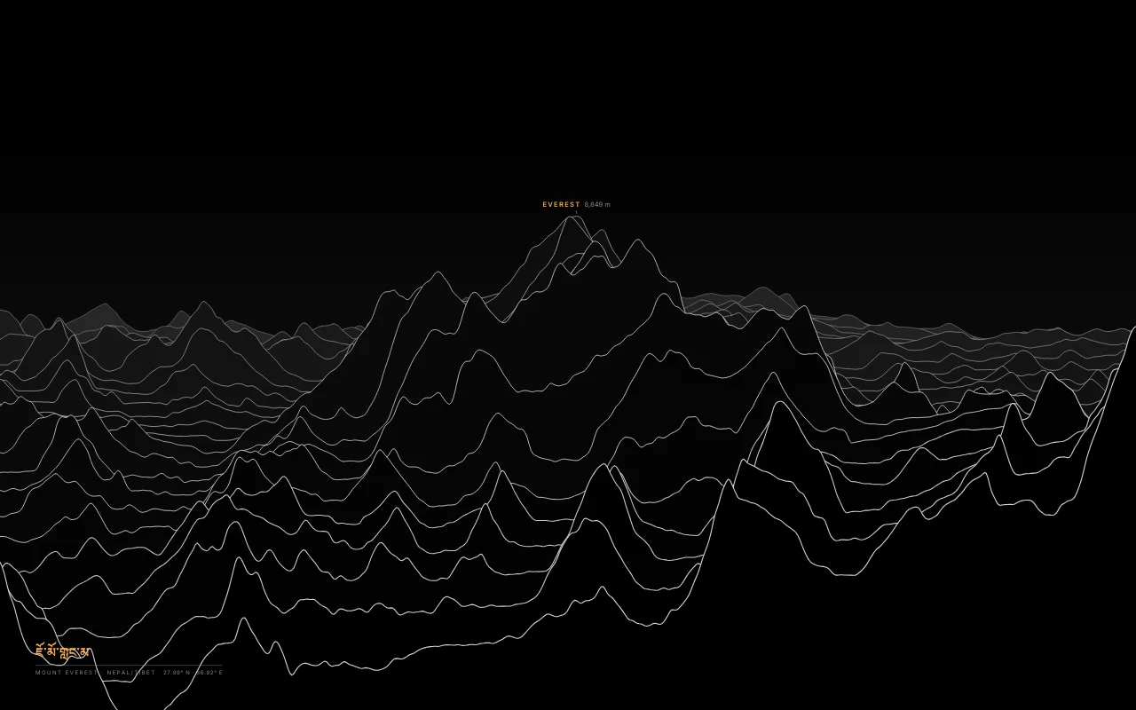
The highest mountain on Earth, with Lhotse and Nuptse, on the Nepal–Tibet border.
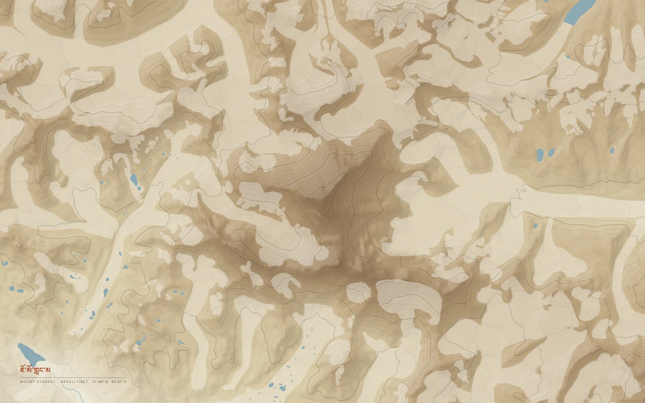
Filled elevation bands around Everest, Lhotse, and Nuptse, with the Khumbu glaciers left empty.
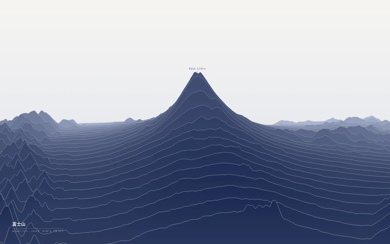
The symmetrical stratovolcano, the highest mountain in Japan.
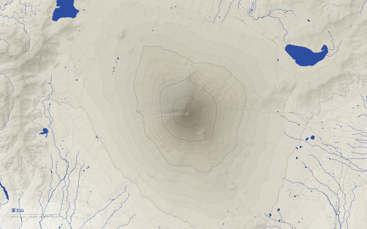
Elevation bands of Mount Fuji, a near-symmetric stratovolcano, with the Fuji Five Lakes to the north.
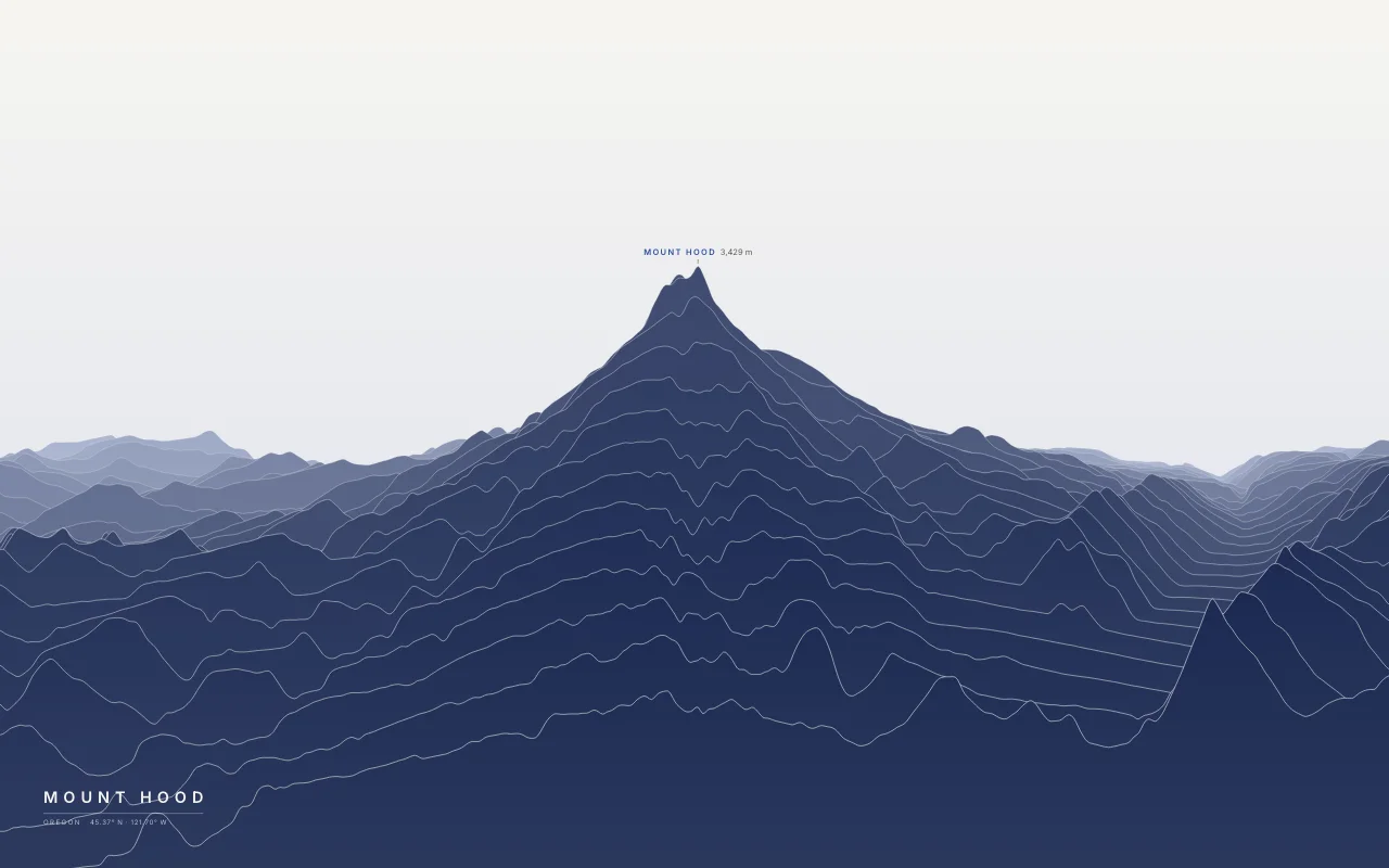
Oregon’s highest mountain, a glaciated volcano east of Portland.
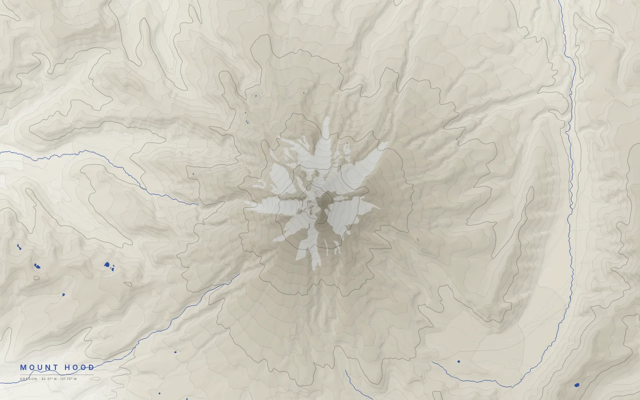
Elevation bands of Mount Hood, Oregon's highest peak, with its glaciers left empty.
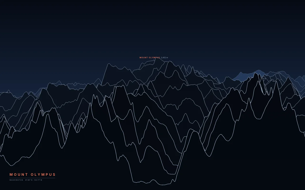
The highest peak of the Olympic Mountains, ringed by glaciers.
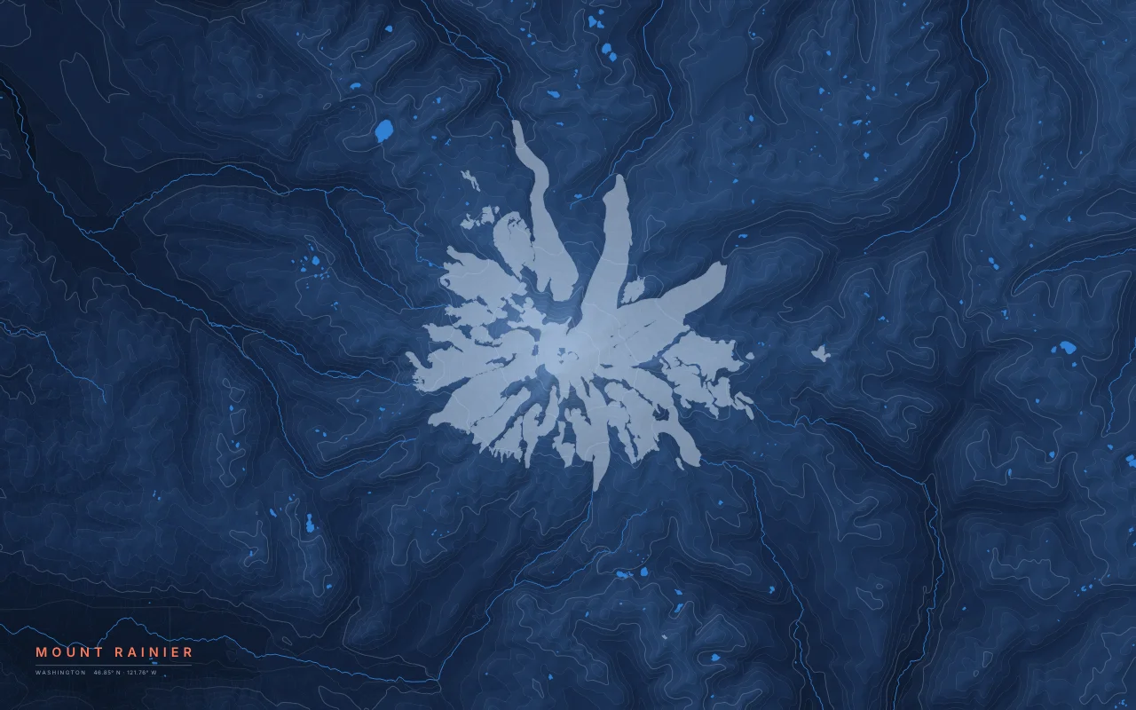
Filled elevation bands around the summit, with glaciers left empty.
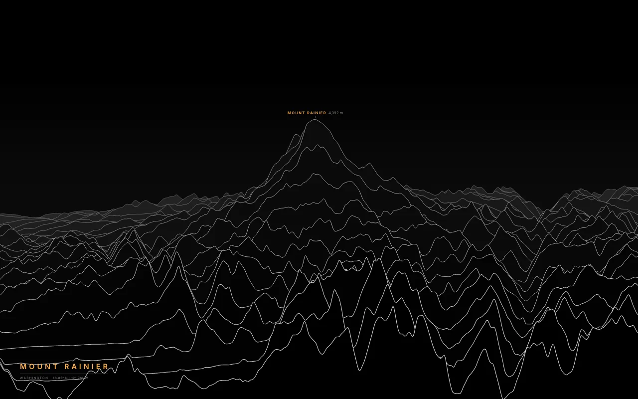
The glaciated volcano above the Cascade foothills.
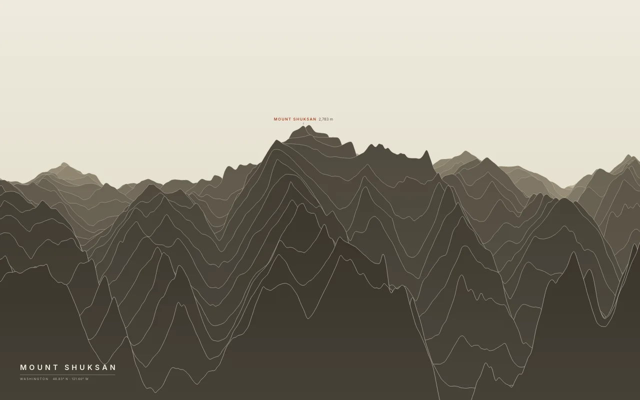
A glaciated peak of rock, not a volcano, east of Mount Baker.
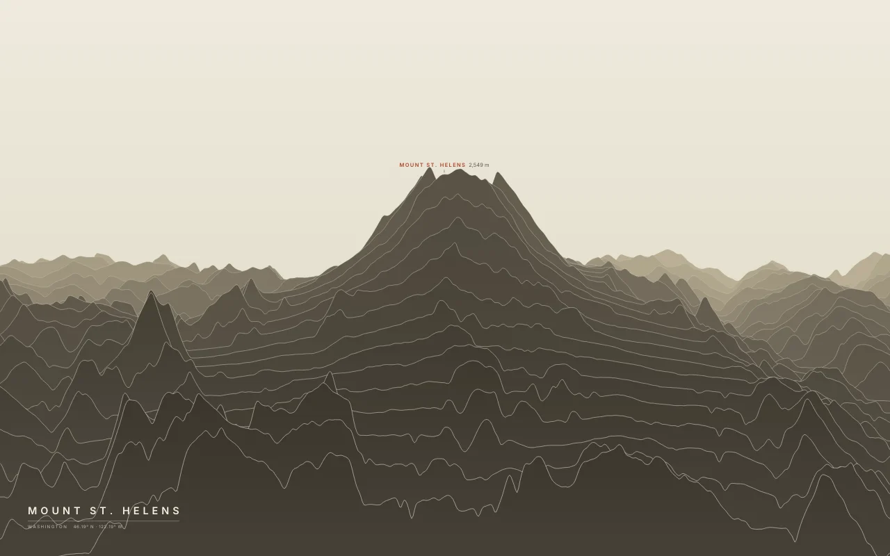
The volcano whose 1980 eruption left a crater open to the north.
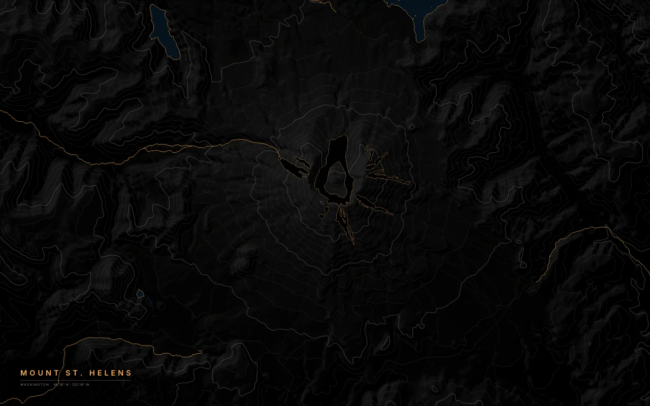
Elevation bands of Mount St. Helens, with the 1980 crater open to the north and Spirit Lake below it.
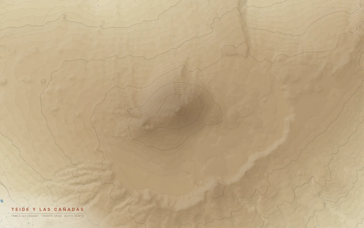
The Teide volcano, 3,715 m, rising from the Las Cañadas caldera.
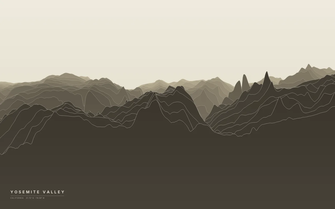
A glacier-carved valley between El Capitan and Half Dome.
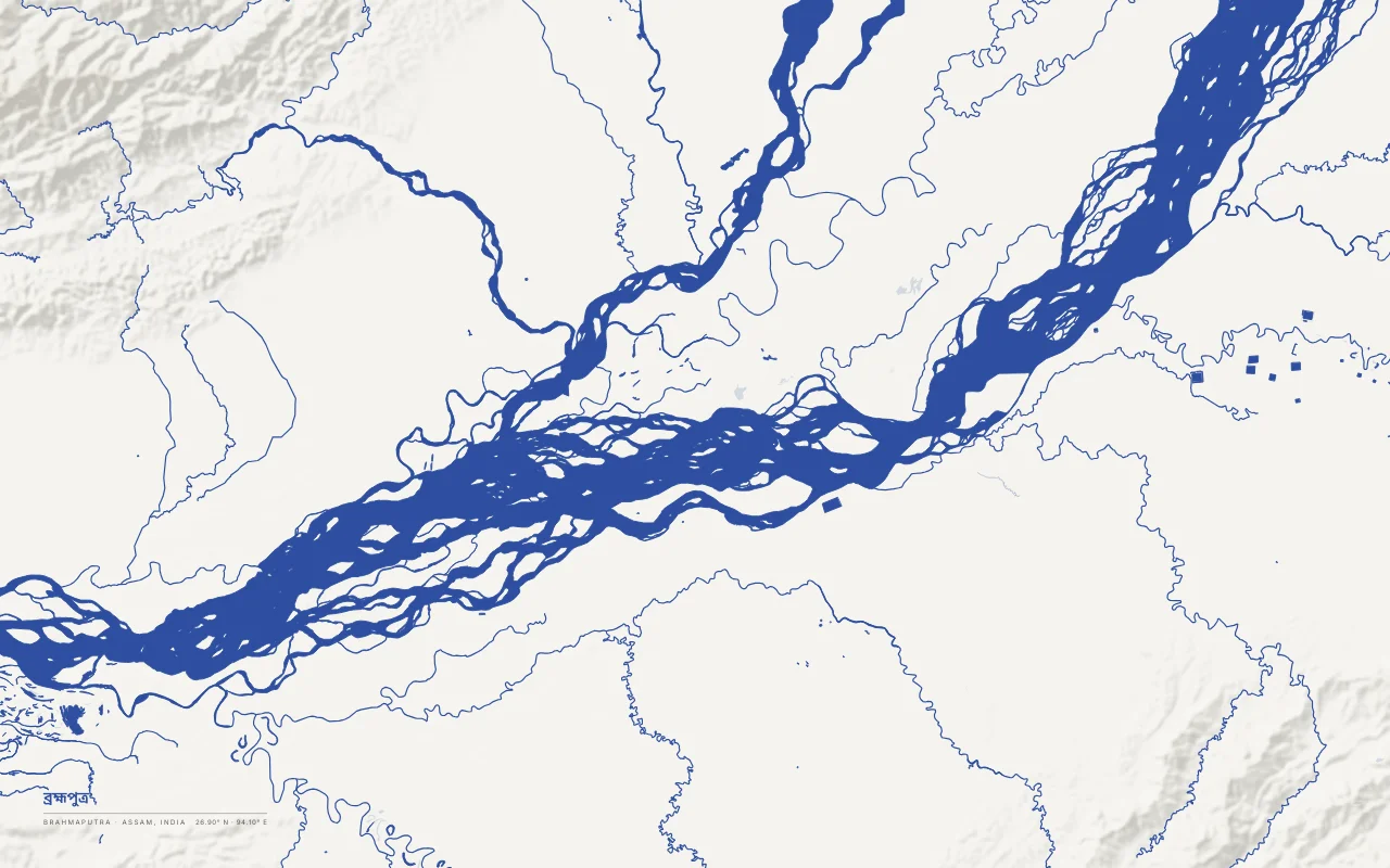
The braided Brahmaputra in Assam around Majuli, one of the largest river islands.
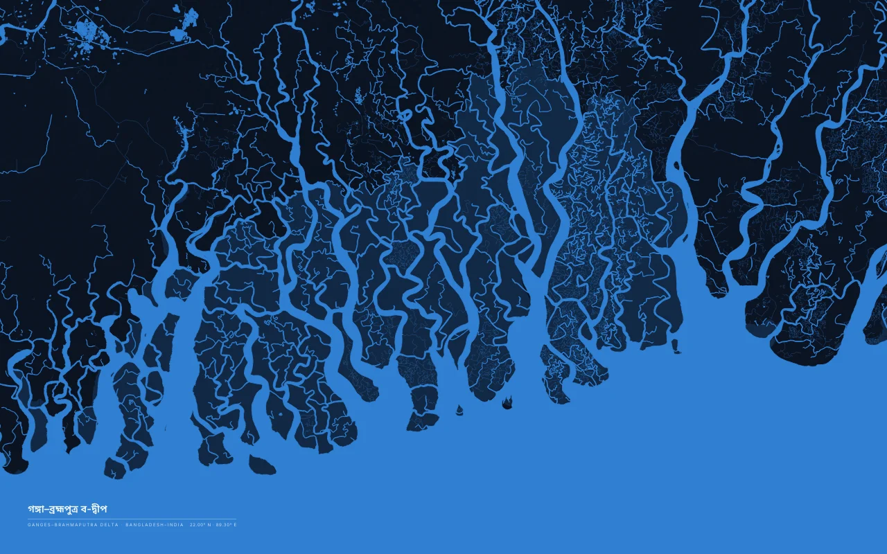
The Sundarbans, a mangrove delta of tidal channels where the Ganges and Brahmaputra reach the Bay of Bengal.
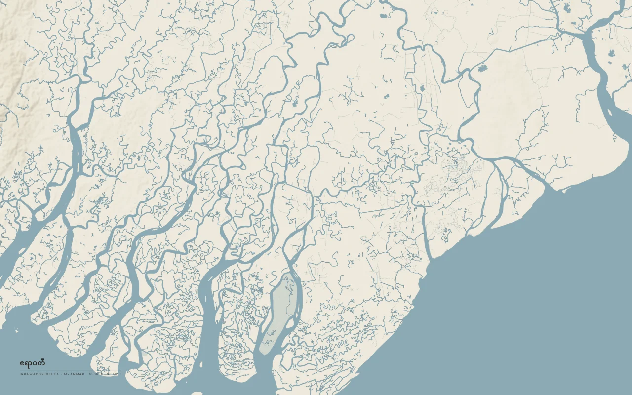
The Irrawaddy's delta on the Andaman Sea, west of Yangon.
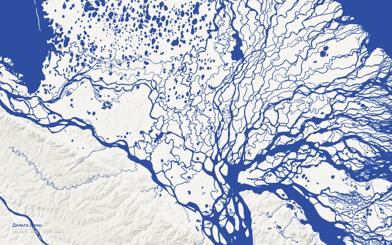
The Lena's Arctic delta on the Laptev Sea, a maze of channels and thaw lakes.
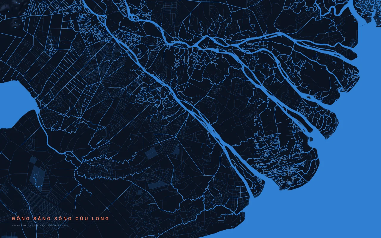
The Mekong reaching the South China Sea through its many distributaries in southern Vietnam.
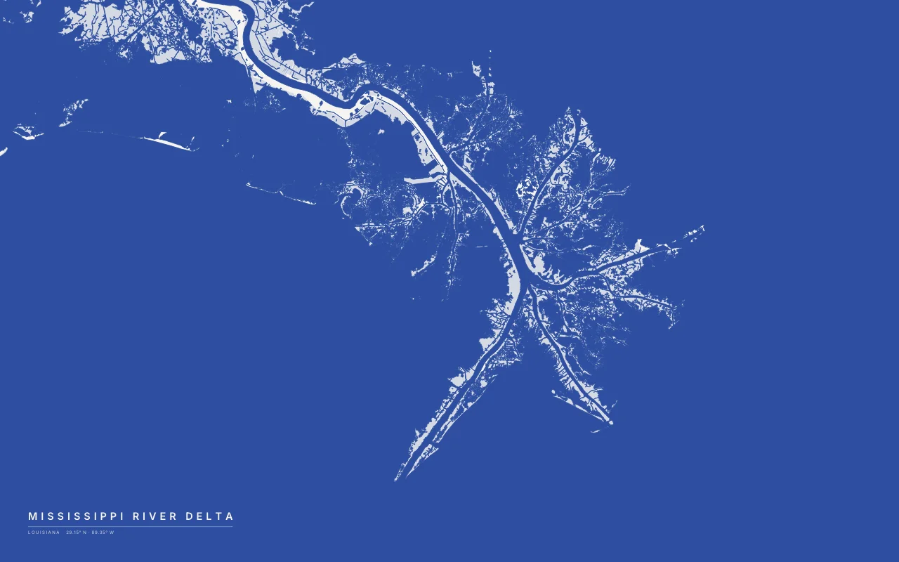
The Birdfoot delta, where the Mississippi splits into passes into the Gulf of Mexico.
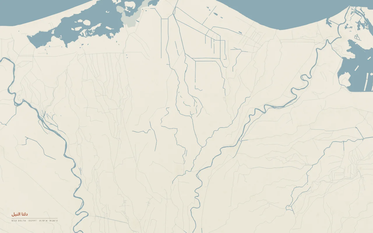
The Nile fanning out between Cairo and the Mediterranean, with its canals and coastal lakes.
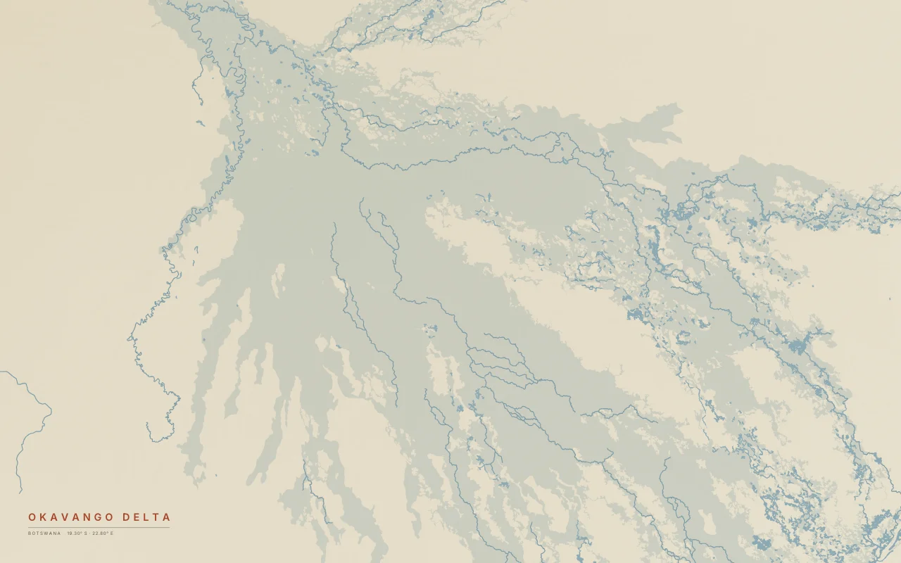
An inland delta, where the Okavango spreads into the Kalahari and never reaches the sea.
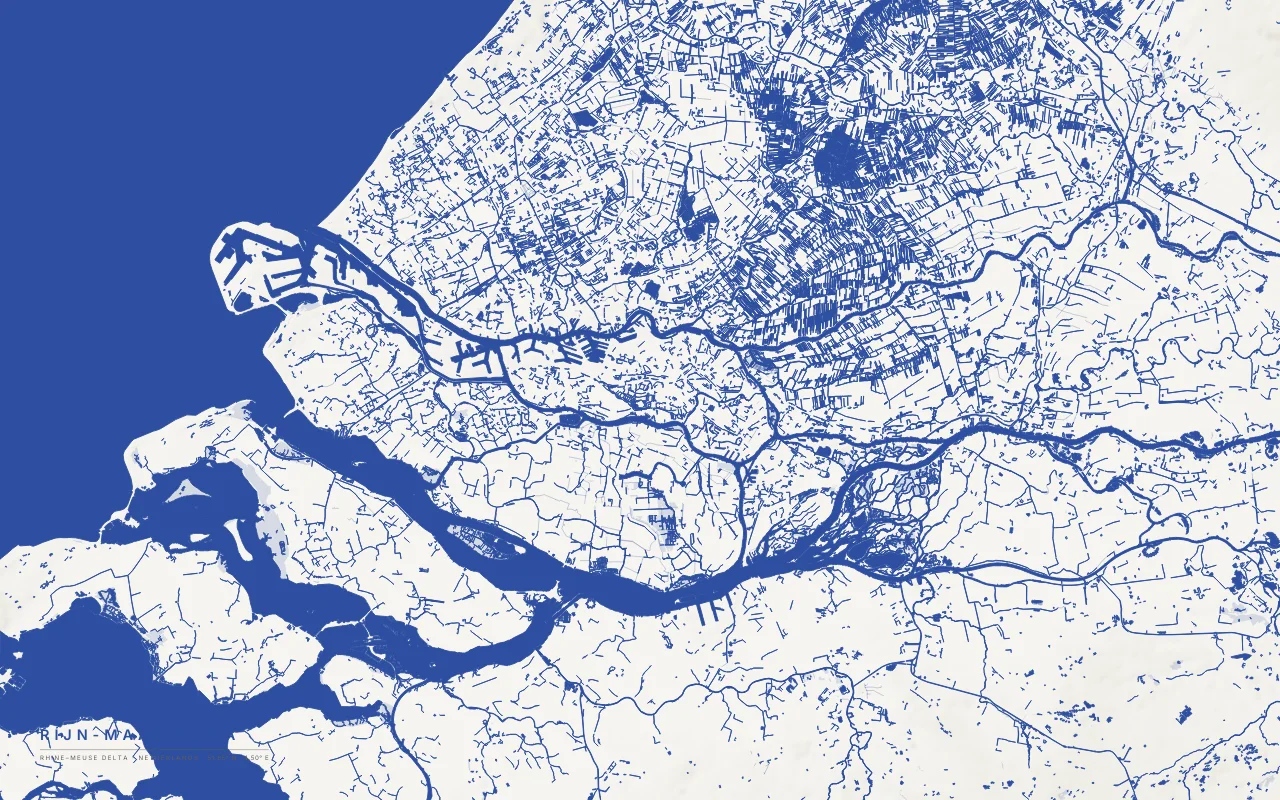
Where the Rhine, Meuse, and Scheldt reach the North Sea through the Dutch delta.
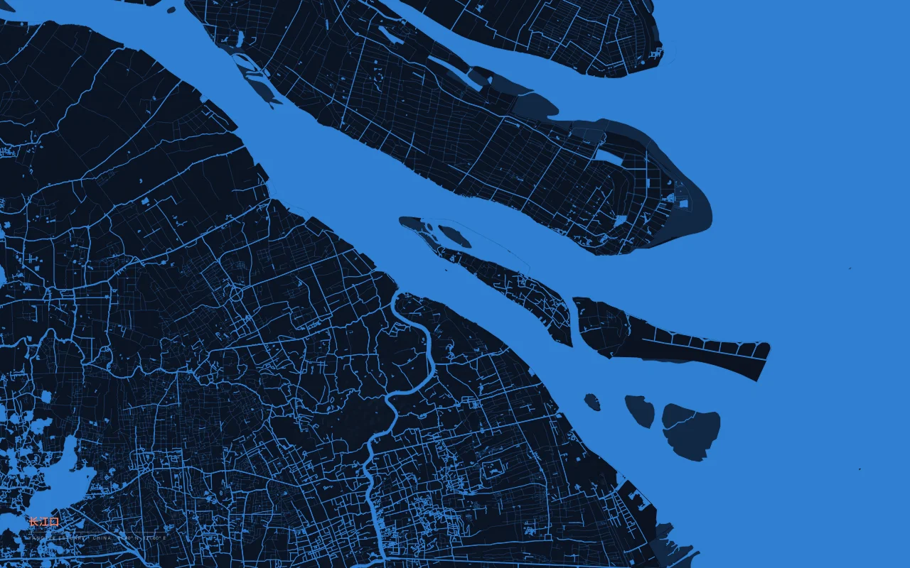
The mouth of the Yangtze at Shanghai, with Chongming Island in the estuary.
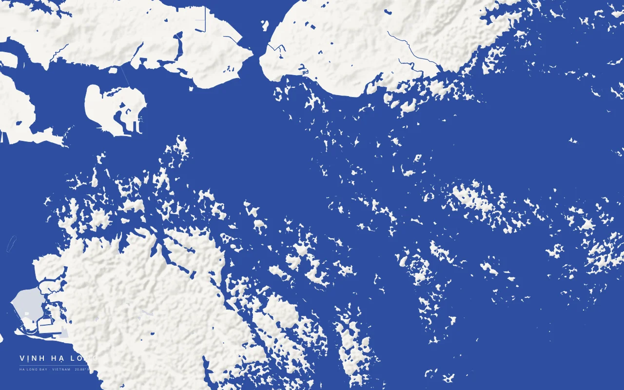
About 1,600 limestone islands and islets in the Gulf of Tonkin.
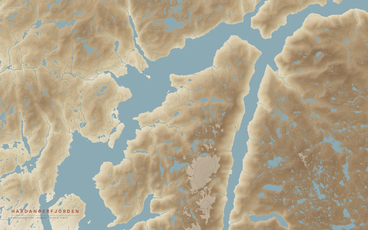
The middle of a 179 km fjord, with the Folgefonna ice cap to the south.
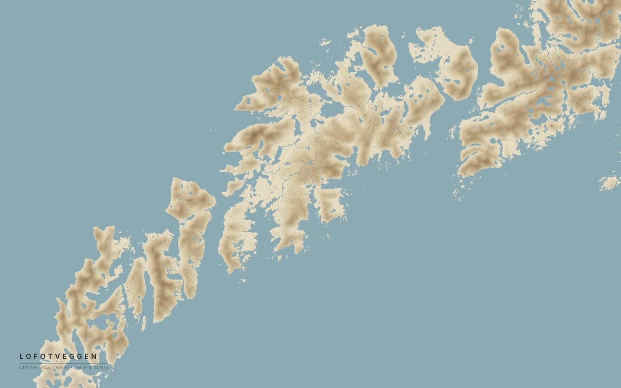
A chain of steep mountain islands rising from the Norwegian Sea.
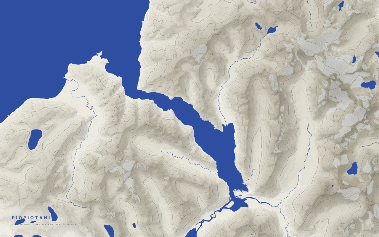
A glacial fiord running from the Tasman Sea between peaks over 1,600 m.
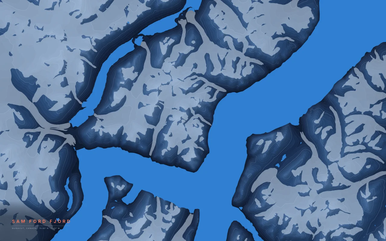
A fjord on Baffin Island lined with granite walls more than 1,000 m high.
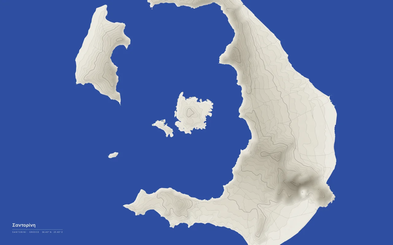
A flooded volcanic caldera ringed by the islands of Thera and Therasia.
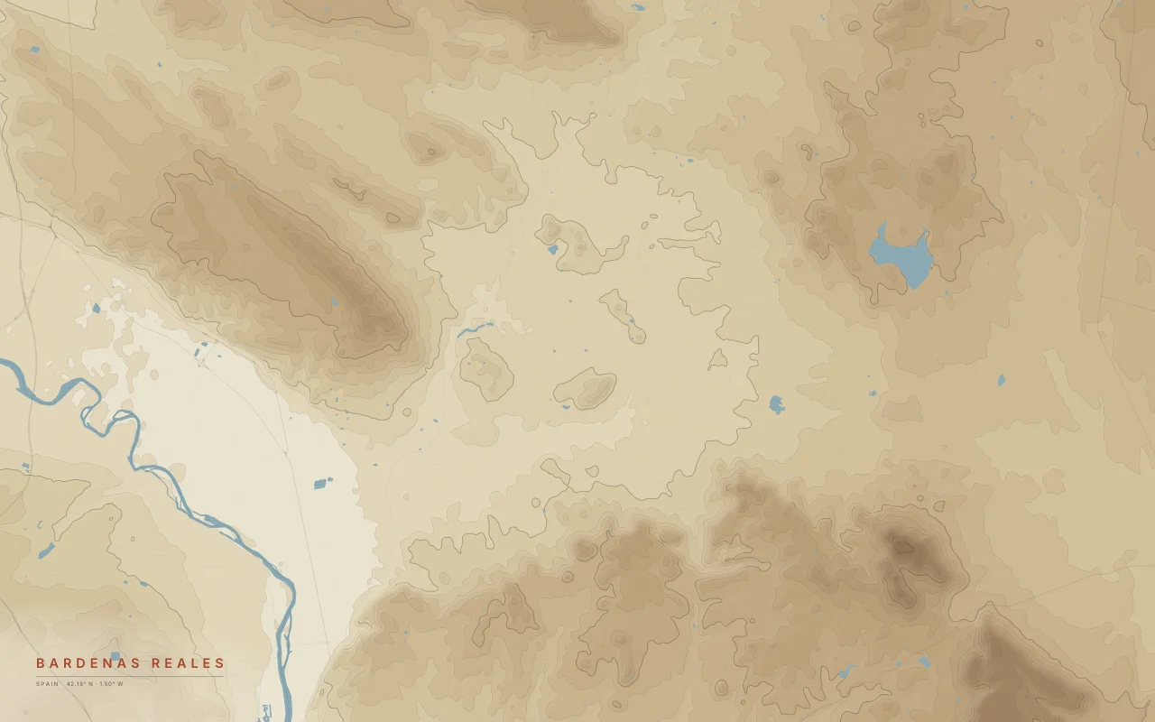
Clay and sandstone badlands carved into mesas and gullies in Navarre.
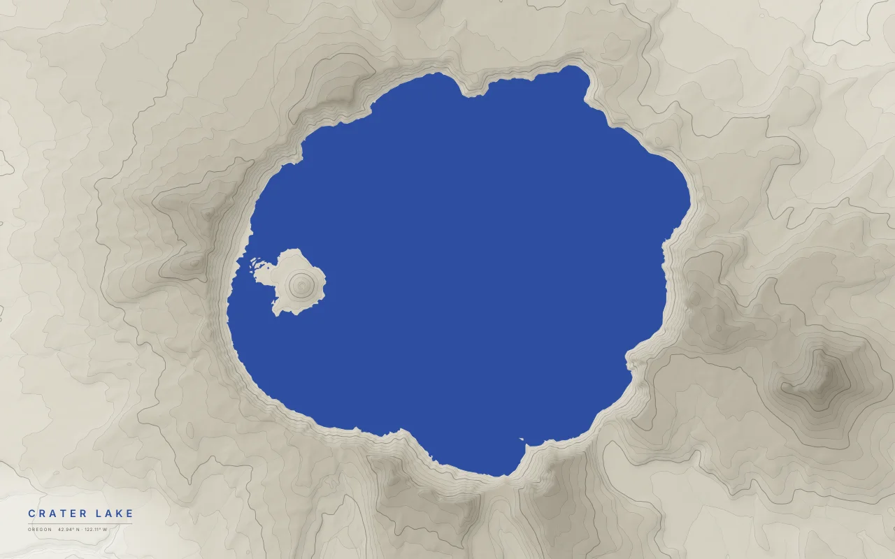
A lake in the caldera of Mount Mazama, which collapsed about 7,700 years ago.
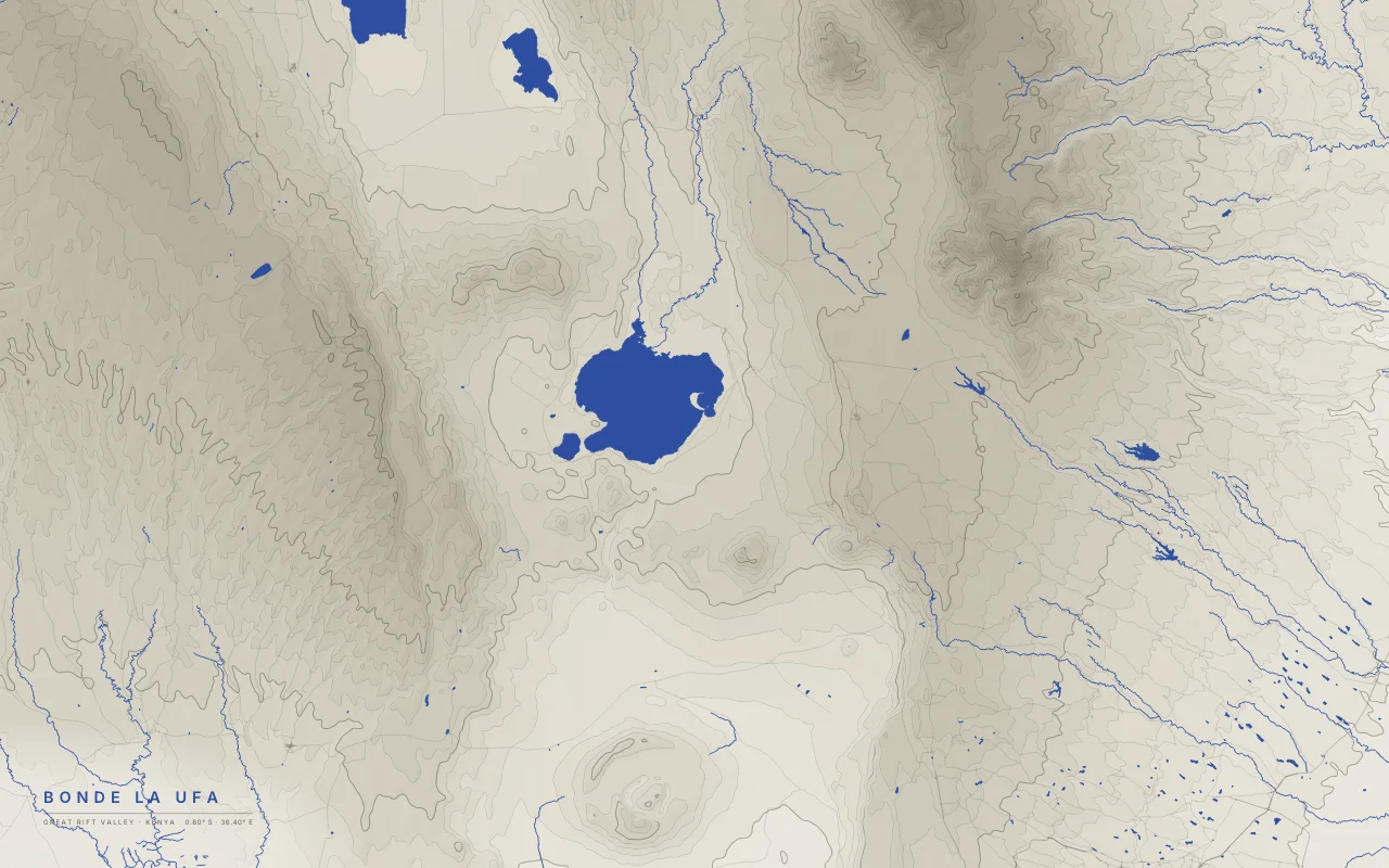
The floor of the Eastern Rift around Lake Naivasha, between the Mau and Aberdare escarpments.
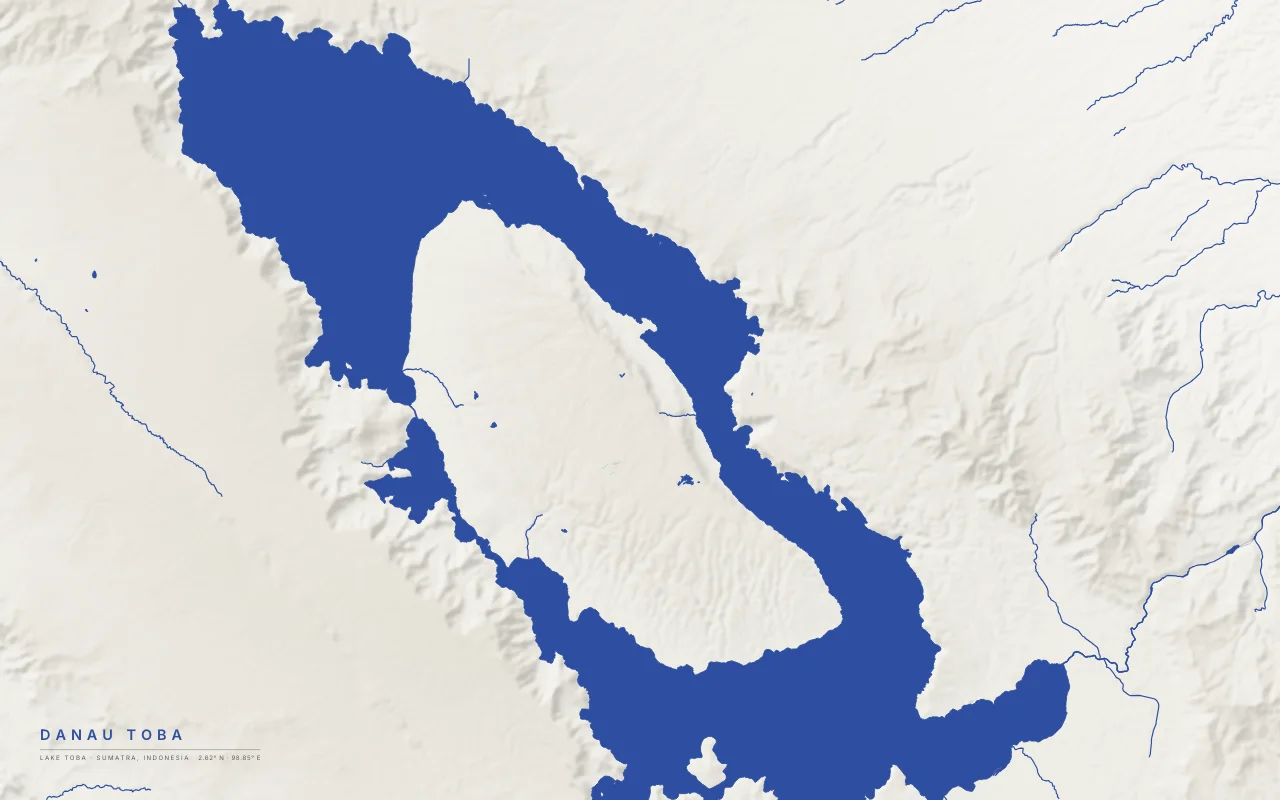
The lake in the Toba supervolcano caldera, with Samosir island rising in its middle.
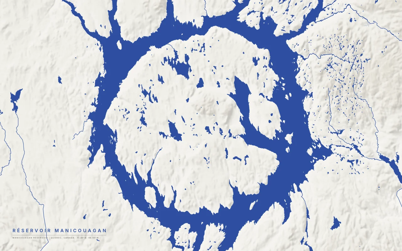
A ring-shaped reservoir filling the eroded moat of an impact crater about 214 million years old.
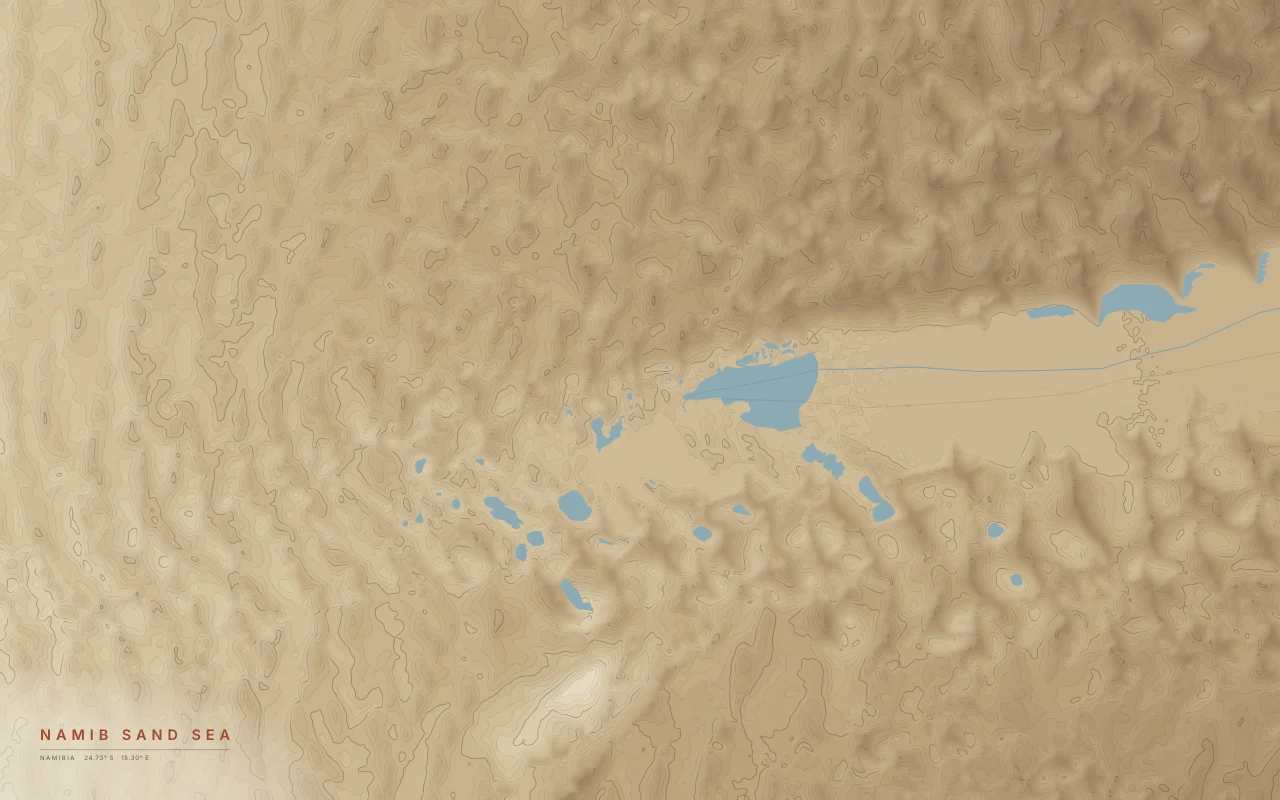
Star and linear dunes of the Namib around the Sossusvlei clay pan.
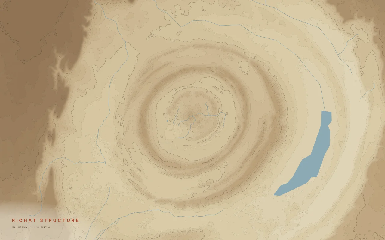
Concentric rings of eroded rock about 40 km across in the Sahara.
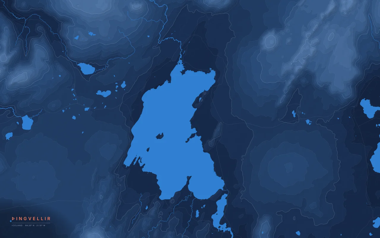
A rift valley where the North American and Eurasian plates pull apart, beside Þingvallavatn.