© OpenStreetMap contributors · Protomaps · Elevation: 3DEP data courtesy of the U.S. Geological Survey. OpenStreetMap data is available under the ODbL; see sources.
- Extent
- About 45 × 28 km
- Center
- 47.61° N · 122.32° W
- Style
- Urban Relief
What the map shows
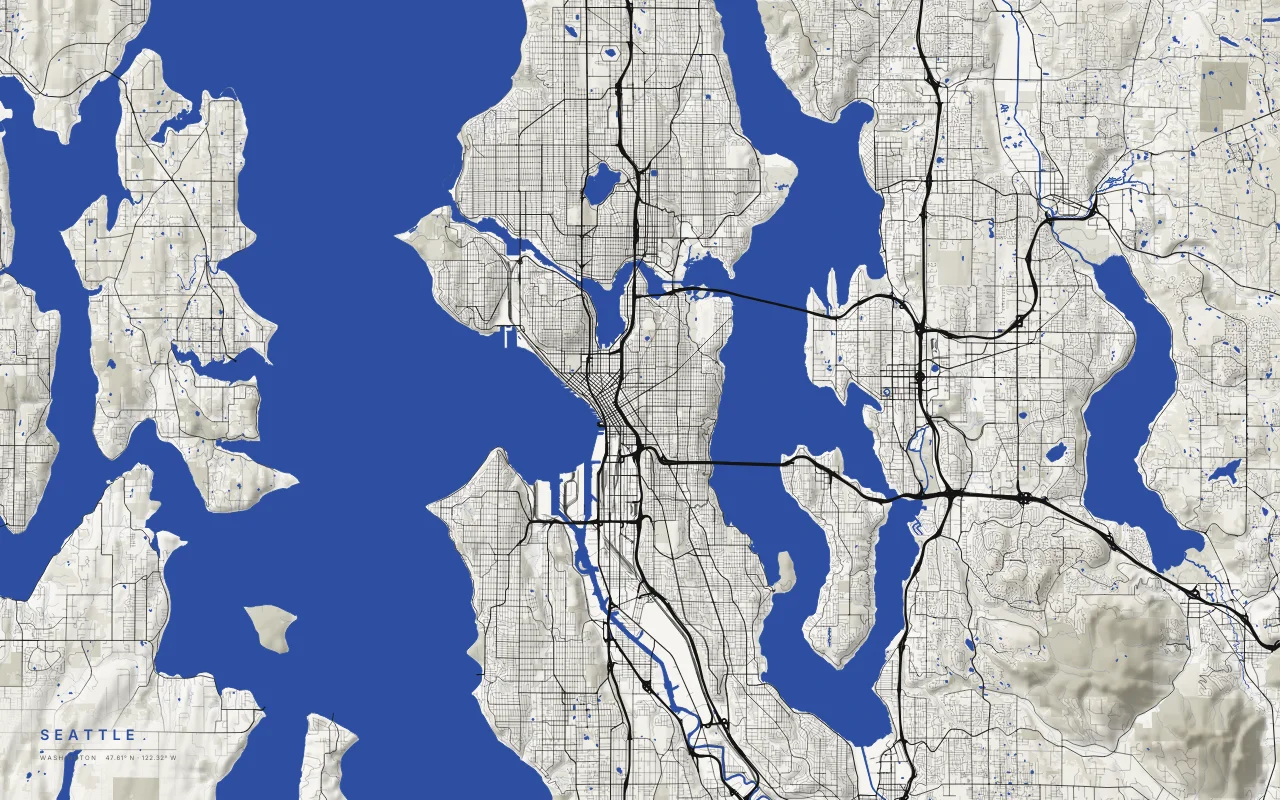
- About 16,000 years ago the Puget Lobe of the Cordilleran ice sheet advanced south and scoured long north–south troughs. Puget Sound, Lake Washington, and Lake Sammamish all run north to south, and so do the hills between them.
- The city sits on a narrow strip of land between Puget Sound and Lake Washington. Water takes up a large part of the image.
- The Lake Washington Ship Canal and the Ballard Locks connect Lake Washington and Lake Union to Puget Sound.
- I-90 and SR 520 cross Lake Washington on floating bridges. They show up as thin lines over open water.
Palettes: Ink and River, Paper, Night River, Black. Layers: hillshade, water, parks, roads.