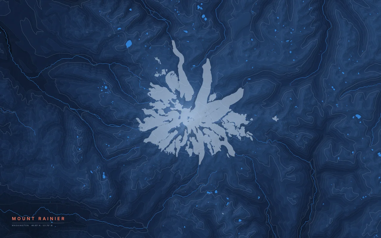
© OpenStreetMap contributors · Protomaps · Elevation: 3DEP data courtesy of the U.S. Geological Survey. OpenStreetMap data is available under the ODbL; see sources.
- Extent
- About 48 × 30 km
- Center
- 46.85° N · 121.76° W
- Style
- Contour Fields
What the map shows
- Rainier is a stratovolcano and the highest peak in the Cascades, at about 4,392 m. It carries more glacier ice than any other peak in the contiguous United States.
- Glaciers and rivers flow outward from the summit in every direction. The Carbon, White, Nisqually, Puyallup, and Cowlitz drainages start on its slopes.
- Elevation is drawn as filled bands. Glaciers mapped in OpenStreetMap are left as empty space, so the ice reads as the shape of the mountain.
Palettes: Ink and River, Paper, Night River, Black. Layers: contours, glaciers, water.