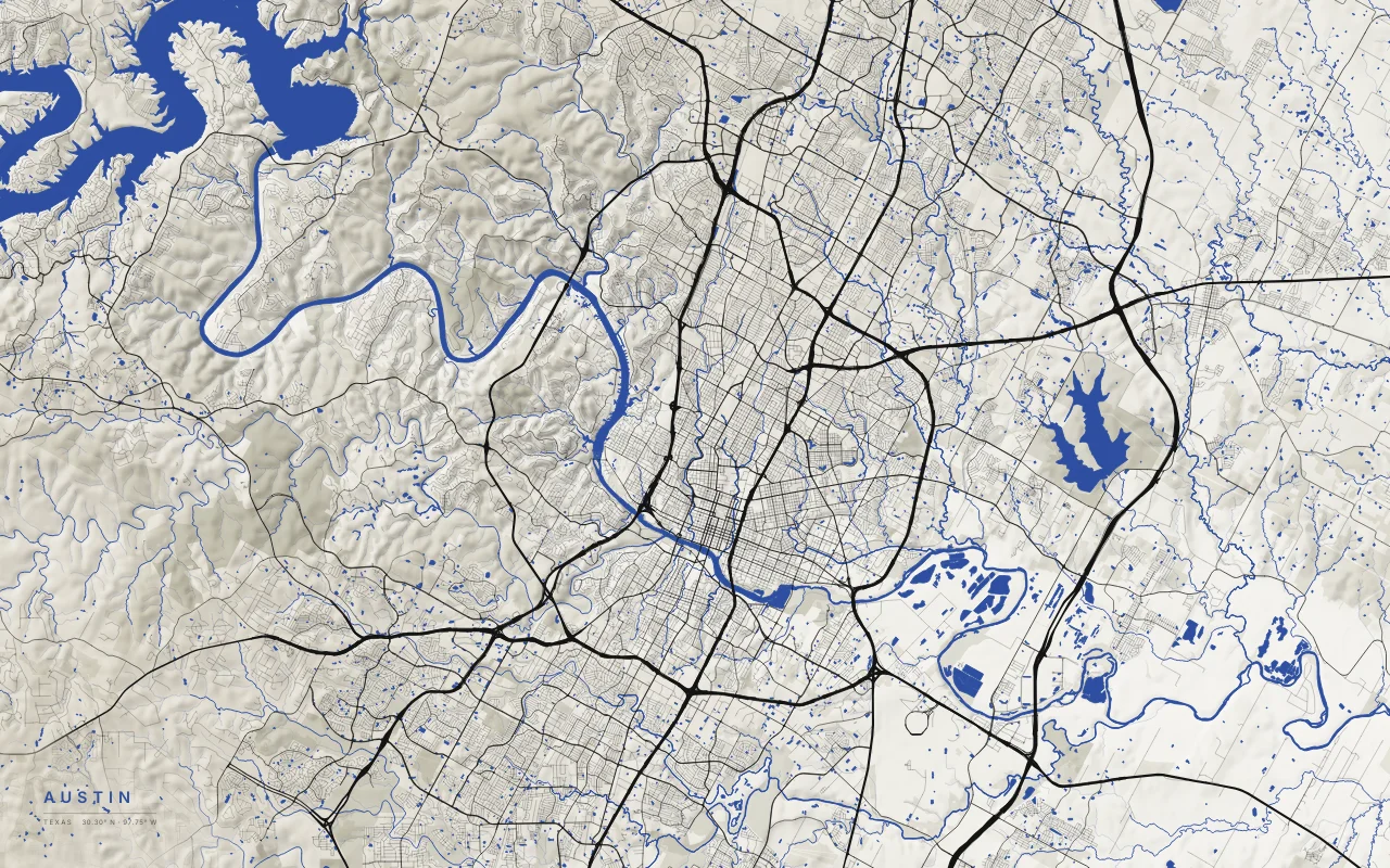
© OpenStreetMap contributors · Protomaps · Elevation: 3DEP data courtesy of the U.S. Geological Survey. OpenStreetMap data is available under the ODbL; see sources.
- Extent
- About 50 × 31 km
- Center
- 30.30° N · 97.75° W
- Style
- Urban Relief
What the map shows
- The Balcones Escarpment runs roughly north to south through the city, near MoPac. West of it is the limestone Hill Country of the Edwards Plateau, cut by steep creek valleys. East of it is the flat Blackland Prairie.
- West of the escarpment, roads wind along ridges and creeks. East of it, they form a regular grid.
- Dams turn the Colorado River into a chain of reservoirs. Lake Travis (Mansfield Dam) and Lake Austin (Tom Miller Dam) lie in the hills. Lady Bird Lake (Longhorn Dam) runs through downtown.
- Barton Creek and Bull Creek drain the Hill Country. Barton Springs is fed by the Edwards Aquifer.
Palettes: Ink and River, Paper, Night River, Black. Layers: hillshade, water, parks, roads.